Snow is not usually difficult to find especially in February…in the German Alps…but in 2014? It’s proved not so easy.
As of yesterday (February 23rd) I still haven’t been snowshoeing this season. Naturally, I turned to Twitter for help asking if anyone could help me find snow near Munich:

The Twitter Gods, or in this case, John Jenkins responded. And because of his tweet, off we (my husband and I) went to Hoher Kranzberg in Mittenwald. It’s located just south of the more famous Garmisch-Partenkirchen, home to my favorite hike in Germany. It’s a little over 100 km from Munich.
The hike starts at the Kranzberg Sesselift (Chair lift) in Mittenwald. Here, you have the option of either going directly to the Hoher Kranzberg (High Kranz Mountain), or ascending via the Lautersee (Lauter Lake). We ascended directly to the Hoher Kranzberg which takes about an hour. This route is more direct, steep in places and follows a road all the way up. It’s nice, but the Lautersee route, the way we returned, is much nicer. It’s also a more gradual route, and most of the path is through a forested hiking trail, which I prefer to hiking on a road.
I highly recommend going the Lautersee route either on your ascend or descent. There’s also a hut where we enjoyed a lakeside lunch. Near the hut, is a Forest Discovery Path for children. From the Kranzberg Sessellift, the Lautersee is only a 30 minute walk and not very steep, so if you were looking for just a short walk this is also an option.
Despite seeing the webcabs that John shared with me on Twitter, our winter hike got off to a less than promising wintery start:
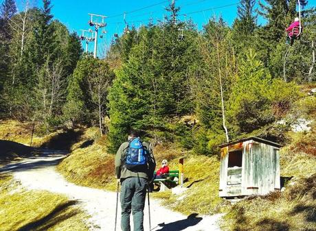
The start of the hike near the Kranzberg Sessellift (Chairlift).
About 30 minutes later we ran into some snow, but the path was still clear:
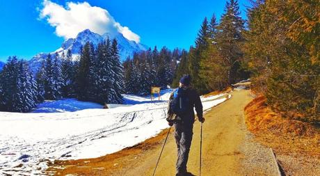
I always find winter hiking scenic, but especially when you haven’t seen a lot of snow. Finally it came:
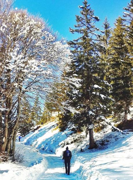
Up, up we climbed. OK, admittedly it wasn’t that hard (we’re only talking 450m after all), But the views more than compensated our one hour of effort:
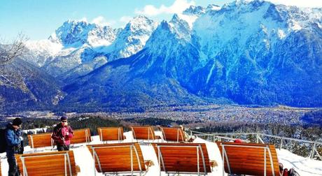
Overlooking Mittenwald, view from the summit of Hoher Kranzberg, with “theatre style” seating to enjoy the view!
Seriously, how cool is this? There was a big sign about the Panorama Kino (Panoramic Theatre) encouraging hikers to enjoy the views. I’ve done a lot of hikes, but have never seen this at the top of a summit. Naturally I had to try it:
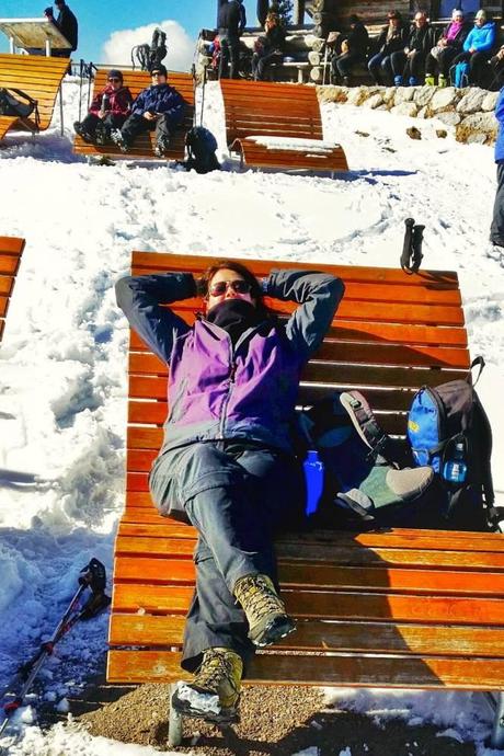
Me relaxing at the Panarama Kino. How’s that for a reward?
Safe to say, that I wish all summits had these comfortable seating options. Pure bliss when your legs are tired. We continued on to even more snow:
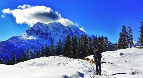
Near the summit of Hoher Kranzberg in February
Until we reached the Lautersee, where we stopped for lunch. Wanting to prolong the view, we also each ordered a cappucino:
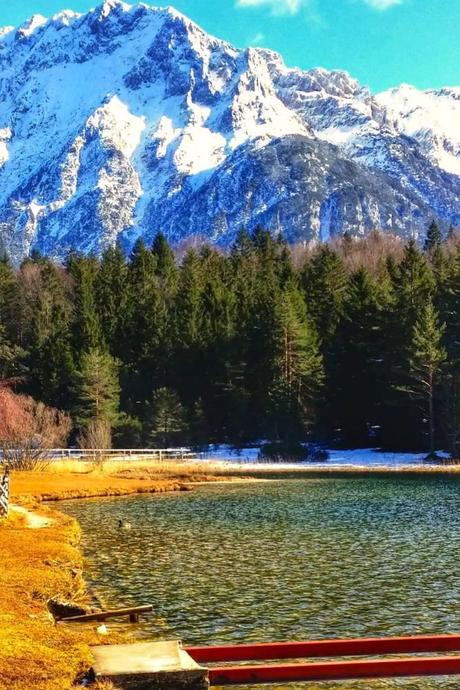
Lautersee, Lauter Lake
Until we were back in Mittenwald, a short 30 minutes after leaving the lake:
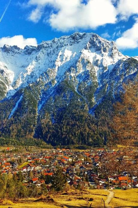
Mountains and Mittenwald! A gorgeous town lying in the valley of the Alps!
We didn’t need our snowshoes, but at least we did find snow above Mittenwald, but alas my zero snowshoeing this season record still holds. Is there still enough of winter left to turn this travesty around? Lets hope so!
Know Before You Hike Hoher Kranzberg:
Length: 13km if you go the scenic route past two lakes (optional), shorter if you just go to the Lautersee, or directly to Hoher Kranzberg there and back. I recommend taking the loop trail and hitting at least one of the lakes en route.
Difficulty: Easy as long as you’re in decent shape.
Navigation: Easy, the path is well-marked and signed.
Landscape: Beautiful! The views far outweigh the effort involved in this hike.
Getting there: The hike starts at the Parkplatz Hoher Kranzberg (Kranzbergstr 34, Mittenwald). We drove there but you can also take the train which takes 1:51. Train Travel Tip: The Bayern ticket is the cheapest way to get there (a 1 day ticket good for anywhere in Bavaria for up to 5 people). It can be purchased directly from the machines at the Hauptbahnhof or at the DB ticket counter. The train station in Mittenwald is 900m (~10 minute walk) to the Parkplatz Hoher Kranzberg.
Further details of the hike can be found here. It’s in German, but Google Translate can help with that.
View Larger Map: 450m ascent
&locale;&layout;&action;&width;&height;&colorscheme;

