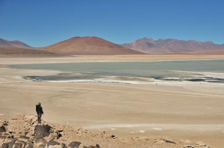
After stamping into Bolivia we began on what is bound to be one of the highlights of our whole tour: the lagunas route through the Bolivian altiplano. Though I’ve actually already been through the typical lagunas route (on a four day jeep tour three years ago), this time around Kevin and I will be taking a longer and less traveled route, and since this area is completely different and a million times better on the bike, I’m extremely grateful for the opportunity to do it again. For the next 500km we will be pushing our bikes through sandy jeep tracks, sleeping at over 4,000m every night, and enjoying the mountains and funny colored lakes this region has to offer. I’ll be writing along the way (I’m currently writing in our tent next to a gorgeous green lake), and then posting the whole lagunas series (with a new entry preset to publish every few days) once we have wifi. This route really speaks for itself, so I’ll let the photos (and their captions) tell the story. All of these photos were taken within 15km of entering into Bolivia… Just imagine how amazing the next few thousand will be!
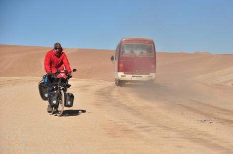
Through we were covered by dust by the impatient jeeps for the first hundred kilometers, we then took a much quieter route which we had all to ourselves.
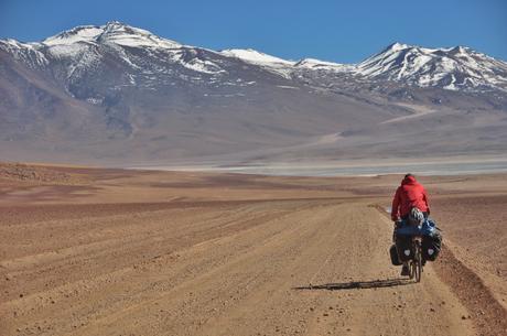
Cycling into the peaks! Pretty soon we will be climbing up and over some of these, but for now, we just get to enjoy them from below.
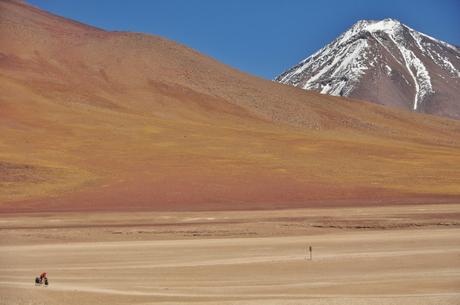
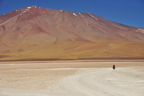
The mountains certainly made us feel small.
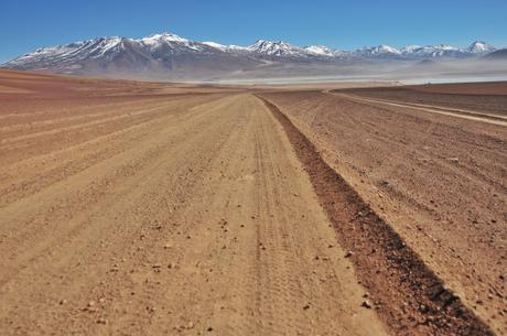
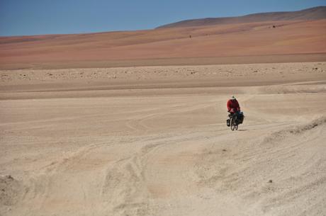
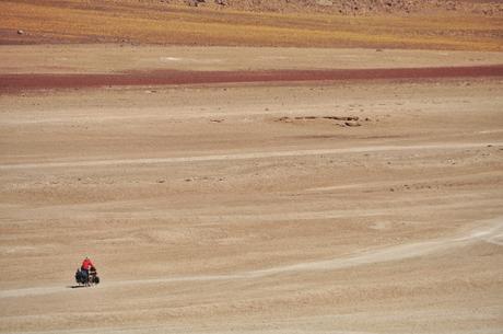
Small Kevin in a world of sandy nothingness.
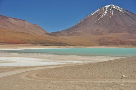
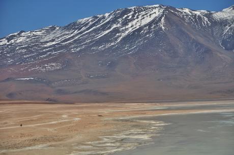
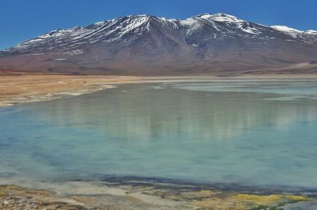
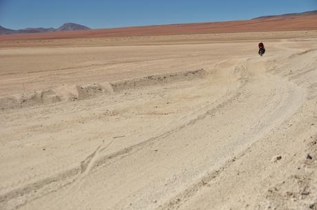
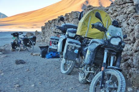
At about two p.m. – just ten or so kilometers after entering into Bolivia – we saw two world touring motorcycles and clothes drying in the wind outside a few abandoned stone huts. We ended up talking with the couple (from Australia) before deciding to just call it an early day in order to enjoy the beautiful surroundings and explore the secret hot springs just ten minutes away. We had a magnificent night protected from the howling wind, especially since we got to share it with other two-wheeled travelers.
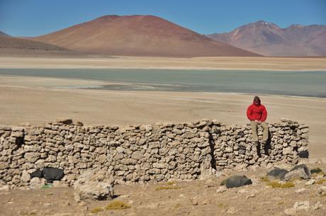
Home sweet home for the night.
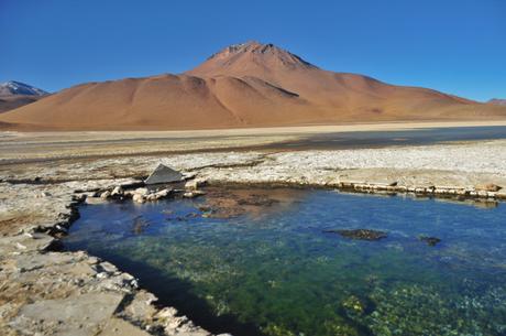
Our secret hot springs.
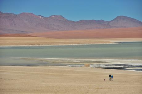
The couple and their dog who they adopted in Venezuela.
Though we have never been ones to plan – we usually just carry a few days of food and a few liters of water with us at all times so that we can camp whenever we fancy – these next few months in the mountains are going to require a bit more foresight as it’s going to be the most physically demanding and in many ways the most rural cycling we have done. Because of this, we will often be following routes which the Pikes on Bikes – an amazingly adventurous couple who have spent years cycling, trekking, and climbing through the Andes – have laid out on their extremely detailed site. If you are looking to do this route yourself, or if you simply want to see the more technical aspects of this route, make sure to check out the links which I will give at the bottom of every blog entry for the next few months. These guys have made our life a whole lot easier (and safer!) by giving such detailed instructions, and we can’t thank them enough for all the hard work which went into mapping out each and every region.
This blog entry is about the first part of the red section, which we will take until Polques after which we plan to take the purple one to Uyuni. If you just want to check out the map for yourself, click here and then choose your own route by clicking on whichever colored line you feel like checking out.
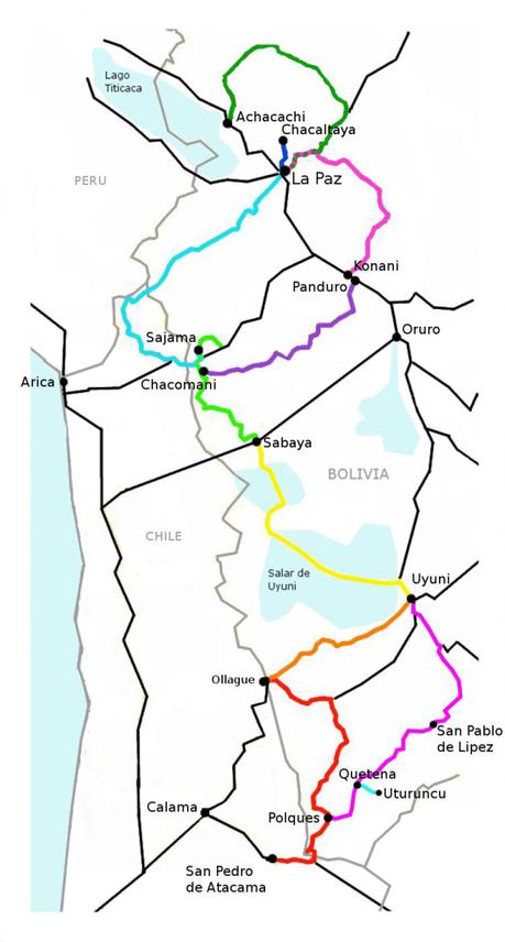
To prepare for this section we left San Pedro with 7-8 days of food, assuming we can pick a bit of basics up along the way (there are, we hope, two small villages with tiny basic “stores”) as we think the route will take us about ten days. We are also each carrying 11 liters of water, and at night, we will each be sleeping with a few bottles in our sleeping bags as even in the tent they are frozen solid by morning (we made this mistake the first morning) as it drops below -15C up here at night!
For a photo of the day and other updates follow me on facebook here, and for some awkwardly cropped photos from our journey, follow us on Instagram @awanderingphoto!
