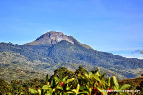
The Mighty Mount Apo
Mount Apo. The tallest mountain in the Philippines. It is also a potentially active volcano, though its last eruption is still unknown. Rising at 2,954 meters above sea level, it is almost three times taller than Osmeña Peak, the highest in Cebu. From afar, its white facade of volcanic boulders stands out from other nearby towering mountains.
We arranged our climb with Albert Gabriel of Mt Apo Adventures. There were five of us in our group from Cebu and another two soloists, Doc Cheryl and Sir Tony, climbed with us. We took the 3-day climb package which includes transportation from Davao City, guide fee, porter/s fee, permits, camp meals, equipment (tents, sleeping bag, trekking pole), souvenir t-shirt and one night accommodation at Davao City.
Day 1
Albert fetch us at the Green Windows dormitel at around 5:30 in the morning and directly headed to Kapatagan. Upon arriving at Kapatagan, we head directly to the first carenderia we saw, Travellers Fastfood, and have breakfast and bought lunch while waiting for the pick-up truck that would take us to Baruring.
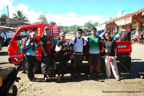
Our ride from Kapatagan to Baruring
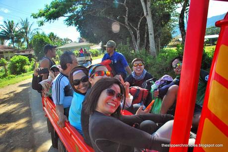
On the way to Baruring
The habal-habal terminal in Baruring is our last stop before we start the hike. At the terminal, we made some last preparations while Doc Che and Sir Tony are also preparing for a side trip. They wanted to visit a waterfalls nearby before catching up with us to Tinikaran Camp 1.

Kapatagan at the background
As soon as we were all set, we commenced with the hike. On the first part of the trek, we were slow in making our way through the farmlands and villages towards Sitio Colan and Tumpis, the last sitio before heading towards the thick rain forest. We had a break at a porter's house where we loaded up our empty water bottles.
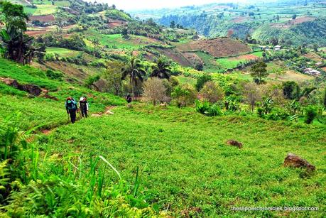
Trekking through farmlands
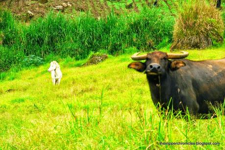
A not so friendly carabao
The forest trail was muddy and steep which makes it extremely hard for us beginners. The occasional drizzle also adds up to the challenge making tree roots slippery.
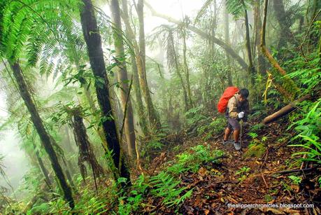
Foggy trail
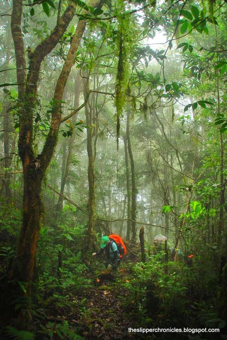
Making way through the jungle
After 6 hours of trekking (slipping mostly) through the rain forest, we reached Tinikaran Camp 1, our home for the night. We set camp and holed up in our tents while it was slowly drizzling. It was already dark when Doc Che and Sir Tony arrived at the camp. We hurriedly ate dinner and succumbed to the warm sleeping bags to relax our sore muscles.
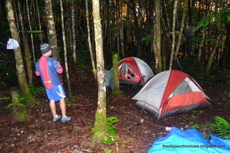
Tinikaran Camp 1 at dawn
Day 2
We woke up early on the second day. Way too early. It was around 1:00 at dawn when I woke up. I realized we took the lights out very early thus also waking up early. It was really hard trying to sleeping again at dawn.
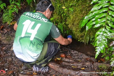
Tinikaran Camp 1 water source
After a warm cup of coffee and breakfast, we loaded up our empty water bottles in a nearby water source and started the trek early. An hour trek through the forest, we reached Camp 2 and stopped for a quick break. Most of the camp ground is covered in green moss and brown leaves. It's not so muddy as Camp 1 but it did not have a water source.
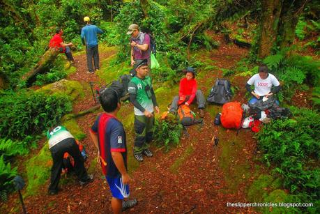
Taking a break at Tinikaran Camp 2
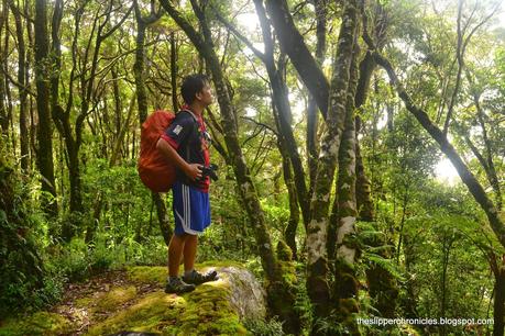
Lush green forest of Mount Apo
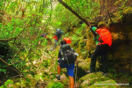
Large rocks approaching to the Boulder trail
Another hour into the trek, we reached the entrance to the boulder trail. At the entrance, clouds of sulfur steam rises through the side of the mountain. A gushing sound as if there's a river nearby also emanates from the sulfur vents.
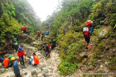
Boulder trail entrance
After few photo poses and plenty of water gulps, we proceeded to the boulder trail. The scenery now changes from lush green forest to gray and sometimes yellow volcanic rocks and small shrubs of wild berries. This part of the trek seems to be the hardest as we need to find secure and stable rocks for footing or it would be a long hard fall below.
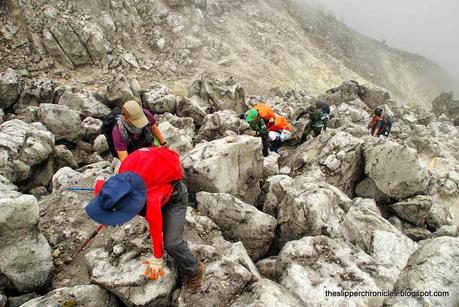
Using all fours through the large boulders
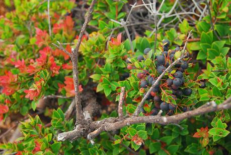
Wild berries at the trail
We had a quick lunch at some clearing along the boulder trail and resumed the trek as soon as our knees and legs have recovered. At some point along the trail, the fog would cover us and made it hard for us to determine which is the right way.
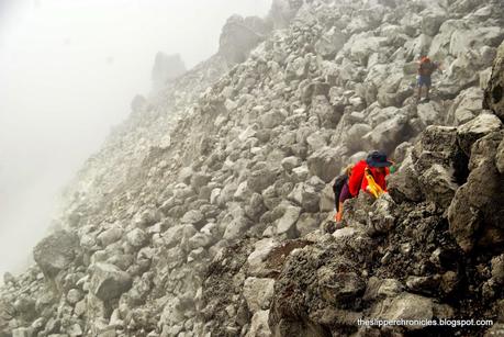
Fog along the Boulder trail
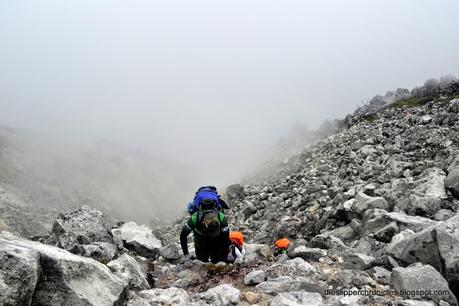
Trails lost into the thick fog
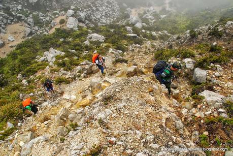
The 87 degrees trail to the peak
At the end of the boulder trail, we reached a sandy flat area leading to the 87 degrees trail where we met another group of mountaineers vying for the summit. The 87 degrees is a steep trail which leads to Mount Apo's crater and to the Davao side peak.
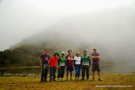
Mount Apo's old crater lake
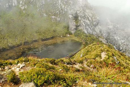
Mount Apo crater lake from above
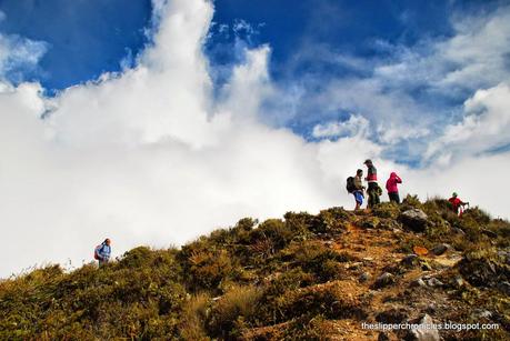
One by one we arrived at the peak
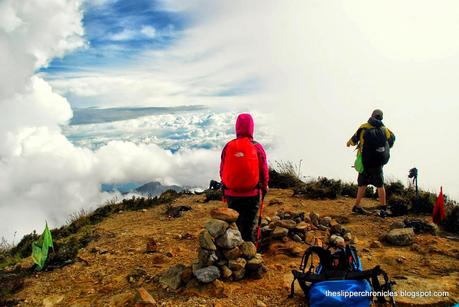
Clouds everywhere :D
We did not stayed for too long at the Davao side peak. The center peak, which is also the highest, is still a 10 minute hike away. Just a couple of minutes after arriving at the center peak though, the rain began to pour so we decided to head to the summit camp site where the porters were already preparing the camp. The combination of rain and cold winds battered us throughout the night.
Day 3
We were fortunate that the rain stopped at dawn and the sky cleared up a bit in the morning. We were hoping to view the sunrise at the peak but it was still cloudy. Still, the panoramic view at the peak was magnificent. A glimpse of Davao City can be seen far away obscured by clouds along with the Gulf of Davao nearby.
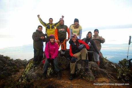
The group at the peak
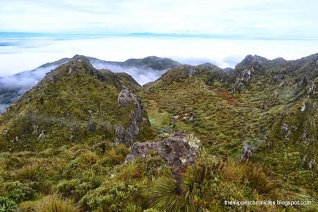
The camp site viewed from the peak
The breathtaking view from the peak takes away all the shoulder, back and leg pains we endured during the climb.

Enjoying the panoramic view
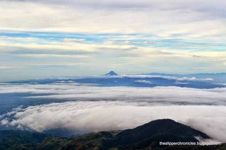
Mount Matutum
After having our fill of the early morning sun, we head back to camp for breakfast and packed up our stuffs in preparation for the grueling descent.
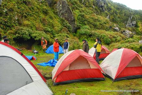
Summit camp site
The descent is the hardest part of the whole trek as it gives the most damage to the knees. With our knees shaking, we hurriedly went back through the 87 degrees, Boulders Trail, Tinikaran Camp 2 and Tinikaran Camp 1 while having lots of water breaks along the way.
We arrived at Davao City at around 11:00 in the evening, exhausted, sleepy, hungry and legs so sore we can barely climb the stairs of the dormitory. But all I can say is it was all worth it :)
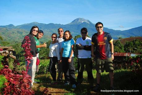
The climbers
3 Day Climb Itinerary
Day 1
0530 - Departure from Davao City
0800 - ETA Kapatagan, breakfast and buy packed lunch
0930 - Depart for Baruring
0900 - ETA Baruring
0930 - Start trek
1030 - ETA Tumpis
1200 - Lunch along the trail
1500 - ETA Tinikaran Camp 1
1900 - Lights out
Day 2
0530 - Wake up call
0630 - Breakfast and packed lunch
0800 - Start trek
0830 - ETA Tinikaran Camp 2
0930 - ETA Boulder trail, lunch at trail
1400 - ETA 87 degrees trail
1420 - ETA Crater
1500 - ETA Summit
1600 - ETA Summit Camp
Day 3
0530 - Wake up call
0600 - Peak hopping
0730 - Breakfast and packed lunch
0830 - Start trek for descent
1200 - ETA Tinikaran Camp 2, lunch
1330 - ETA Tinikaran Camp 1
1630 - ETA Tumpis
1800 - ETA Baruring (waited for rest of the group to arrive)
2100 - ETA Kapatagan
2300 - ETA Davao City
**Thanks to Sir Albert and Reus for the photos.
