
Contemplating the ride.
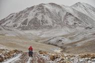
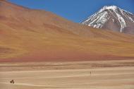
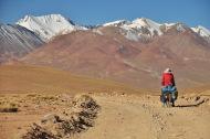
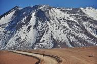
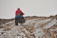
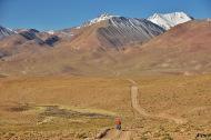
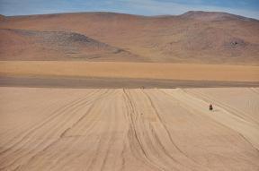
This tough but extremely rewarding route took us through the first hundred kilometers of the typical lagunas route (past Laguna verde) before taking us away from the main jeep route and onto a much less used beautiful jeep track which led us up and over multiple 4,700m+ high passes. This was my favorite route in Bolivia (and one of my favorites in all of the world), and I would highly suggest it to anyone up for a bit of a challenge!













Stats
Distance: 500km (San Pedro de Atacama Chile to Uyuni Bolivia).
Time needed: 10-12 days.
Highlights: Beautiful snowy peaks, isolated camping, interesting lakes.
Road surface: Unpaved and occasionally sandy.
Traffic: Not much; six jeeps a day all together.
Best season: May-October; Completed May 2015.
Water/food availability: We left San Pedro with eight days of food, though we were able to find a stream or spring for water at least once a day except for the first two days from San Pedro.
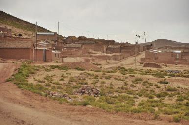
Solo female: No problem, you won’t encounter anyone except for in three small rural villages.
Overall difficulty: Difficult. Very difficult pushing up some of the passes.
Camping
It was relatively easy to find places to camp, though it was hard to find spots protected from the wind (though it usually died down with the sun).
Budget
No ATMs along this route, and nothing to spend your money on except for snacks or basics in the villages.
Notes
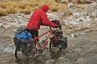
This route gets really really cold. It was -15C for us at night in May, and gets even colder in July. We were prepared as we both have extremely warm down jackets and sleeping bags, but we know other cyclists who attempted this route without the right gear and had to pay for a very expensive ride out after the first night. Make sure to be prepared if this route is on your list.
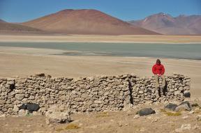
Right after the Bolivian border (across the lake from it) there are “secret” hotsprings and just ten minutes up from them are some old stone structures you can sleep in protected from the wind. This way you don’t have to pay for the busy touristic ones further down the road!
Resources
The Pikes on Bikes are definitely the go to on this one; they have GPS coordinates, route descriptions, and step by step directions as to where to go along this difficult yet route. But do keep in mind that they are super heros, and it took us quite a few days more than them to complete this route.
Here is their interactive Bolivian map.
My blog entries throughout this route:
– High Altitude Goodness and Secret Hotsprings
–High Passes and Frozen Water Bottles
–Ghost Towns and Snow
Feel free to comment with your own thoughts, corrections, or updates in order to help others looking to complete this route too.
For a photo of the day and other updates follow me on facebook here, and for some awkward
