I came across colorful cartography prints by Jennifer Carland while browsing Etsy last week in search of local artists for a roundup in next Monday’s Boston Globe. I was quickly drawn into her Etsy shop Carland Cartography, where I discovered lots of boldly colored maps of Boston neighborhoods and nearby towns.
I suppose I am a particular connoisseur of map art Probably few of you know that my first job out of college was as the Maps Editor for a travel magazine. It was a pretty fantastic job (and I got to skip the whole assistant thing). I would read the manuscripts for features to determine what kind of map would best suit the story, look at the photography, then assign an illustrator to carry out the vision. It was right up my alley. I’d spread maps out on my work table, trace, and fill in all the relevant information, which the illustrator would turn into a visual masterpiece. Sometimes the maps would be concrete and informational, and sometimes they’d be fun and impressionistic. I should pull out my tears, scan, and post some; they were lots of fun.
Carland turns Boston neighborhoods — some kind of dreary — into fun and colorful graphic treats. Carland also has a Society 6 shop here you can order her map prints on iPhone cases, hoodies, mugs, stretched canvas, etc.
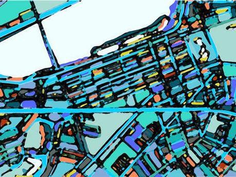
Back Bay
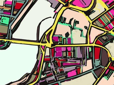
Beacon Hill
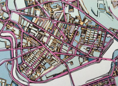
Cambridge
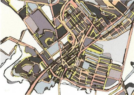
Chelsea
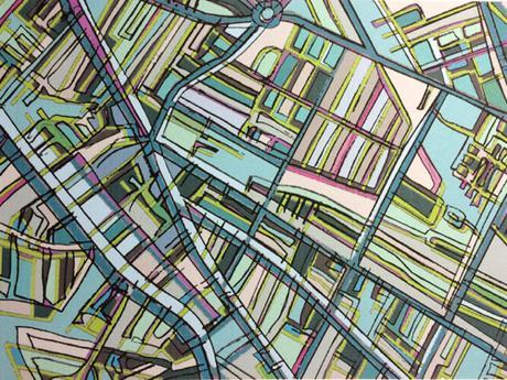
Davis Square
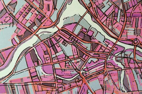
Lowell
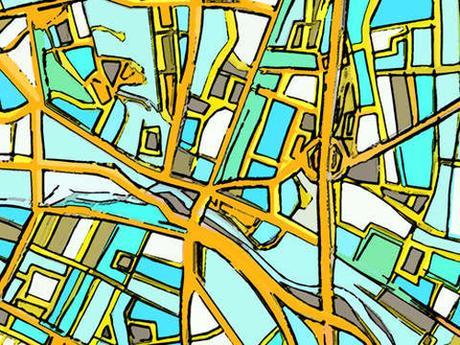
Medford Square
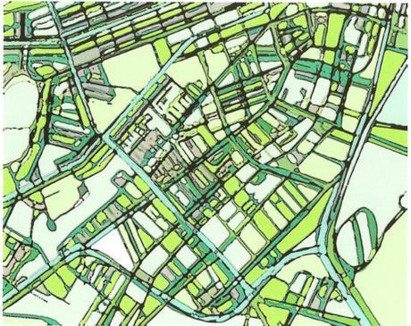
South End
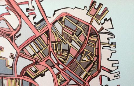
North End
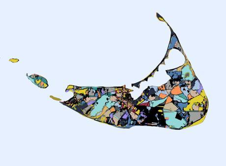
Nantucket
