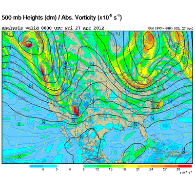
Here's a look at the upper level pattern for the day: A shortwave rode the base of the larger trough in the northwest...
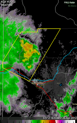
 Though there was some nice support aloft, at the surface... things were a different story. By mid afternoon, the T/Td was 73º/33º. Hardly worth getting too excited about. Regardless, a line of storms formed along a wave in the mid-levels and rode north along the Uncompahgre Plateau. As it reached the edge, near I-70, it appeared as if there would be a decent wind threat to the I-70 corridor from Mack to Fruita.
I was watching at work while finishing up whatever I was reporting on that day when the first high-wind report of 74 mph came in...
2230745 NW MACK MESA CO392710894THUNDERSTORM OUTFLOW WIND GUST AND BRIEF HEAVY RAIN (GJT)
My news director understood my love of severe weather and quickly dispatched me, though the storm was moving fast and already moving through the irigated valley and into the desert. My main goal was to shoot damage anyway. The first report prompted a severe thunderstorm warning, the first on the Western Slope in 2012 if I'm not mistaken.

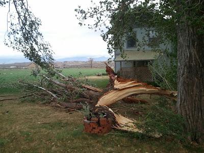
I discovered some downed tree branches near Loma and took a little video so I could haul back to the station and have it on the 6PM newscast.
 (mobile phone image)
And that was pretty much it. The storm climbed the Book Cliffs and then eventually dissipated. Still, it was nice to get to chase for work!
STATS
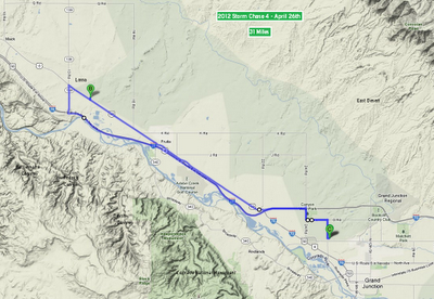
Mileage: 31
2012YTD Mileage: 152
States: Colorado
SPC Risk: Probabilistic
Max Hail: None
Tornadoes: None
Other Phenomena: Wind Damage
Chase Partner: None
Applicable Mesoscale Discussions: None
Applicable Weather Watches: None
Storm Reports for April 26th
Detail Map:

Dann
