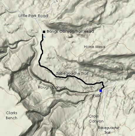
A few weeks later and back in town from storm chasing, I decided to head back to the area on my first day off. I planned to take a different approach and not head directly into Rough Canyon from the Bangs Canyon trail head like I had done previously. Instead, I decided to follow the Tabeguache Trail (many locals pronounce it TAB-A-WATCH, but I've also seen the Ute pronunciation described as "TAYBWATCH", which is how I choose to pronounce it), a popular "jeeping" trail that also passes through the Bangs Canyon trail head. Instead of immediately dropping into Rough Canyon, the Tabeguache Trail stays to the higher ground and eventually crosses Rough Canyon a few miles down. (see map at bottom).
I knew that the "big waterfall" in Rough Canyon was just upstream of the crossing, so I had a pretty good idea as to where to find it.
Given the amount of available light in the late spring, I was able to head out after dinner. I followed Little Park Road up to the Bangs Canyon trail head and set out. The trail is a sand and gravel double-track road for a while before reaching several wide expanses of slick rock. Paint on the rock marks the trail and provides mileage for those choosing to enjoy the trail via a four-wheel drive vehicle.
I kept to the trail, occasionally straying west toward the edge to see if I could look down into the canyon. Thinking back to my previous visit to the area, I realized that the tires and wheels that I found in the canyon bottom may have come from this trail since they were in remote areas.
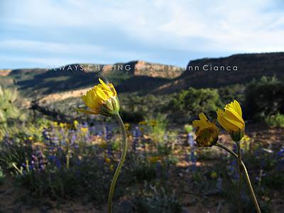 Wildflowers were in bloom along the Tabeguache Trail
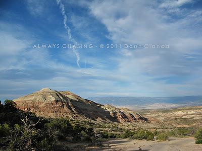 The highest point of Horse Mesa and the slick rock expanse of the Tabeguache Trail
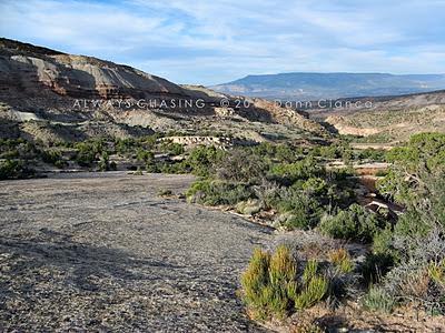 The wide, slick rock trail.
The trail descends several drops which would make it impossible for non four wheel drive vehicles to traverse. The ledges of rock are in fact scraped and marked by vehicles that rubbed bottom.
The trip to the bottom isn't all that long, especially since it is downhill. The surroundings were beautiful, especially with the light, so that certainly slowed me. Near the bottom, a sign that reads "falls" points back upstream and a small dirt trail departs the wider, now sandy Tabeguache Trail.
As I approached the area, I was pleased to hear water falling. It certainly didn't have the robust sound the creek had made just a few weeks prior during what I assume to be peak runoff, but there was water moving none the less. In addition to the water, some animal as making a spectacular noise.
The trail leads to a series of pools at the top of the waterfall.
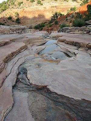
I kept looking around for the "large" animal making the incredible racket, but had to look down to see what I was hearing. Behold... the mighty Canyon Tree Frog.
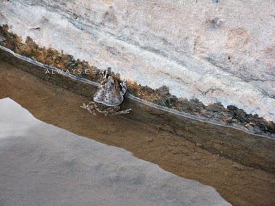 Canyon Tree Frog (Hyla arenicolor)
 There were several in the pools above the falls. They seemed to quiet once I entered the area but none seemed too alarmed with my presence. .
More information and a map of the distribution in Colorado can be found here:
http://ndis.nrel.colostate.edu/wildlifespx.asp?SpCode=020189
Listen to the calls of the frog here:
http://www.californiaherps.com/noncal/southwest/swamphibians/pages/h.arenicolor.sounds.html
I chased one into a crevice to see if I could get a closer shot... though he's not exactly in framed up well...
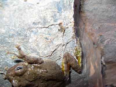
Since the frogs seemed to be comfortable clinging to the rocks surrounding the pools, I thought I'd sneak up and get a different perspective. I call it the belly perspective... since I was sprawled out on my belly, trying to take the picture.
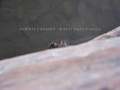
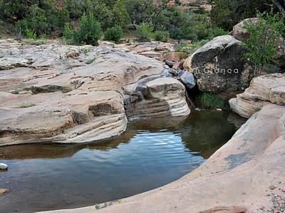 An overview of the frogs' pool.
Ah yes, the waterfall. I took a moment to look down over the edge and discovered a path along the west side, allowing me better access. The waterfall is comprised of two separate drops. The top is a larger chute, which falls to a pool. The second fall is much tighter and harder to see. In between the two, there stood a ledge that I was able to climb down to for a nice view of the upper fall.
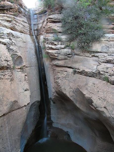 Rough Canyon Falls
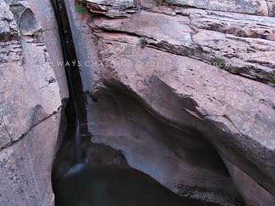
I sat there for a while, wishing I would have made there on my previous journey when the water flow was much higher.
The sun had already set on the canyon, but was still touching the distant Mesa. I decided I wanted to get to the bottom of the lower falls.
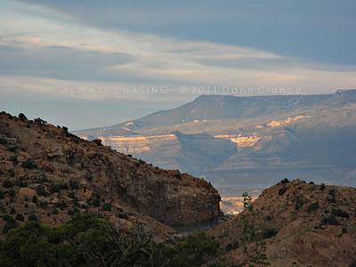 The view east, down Rough Canyon across the valley to the Grand Mesa.
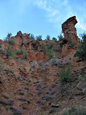 Red earth, purple wildflowers and an imposing hoodoo from the bottom.
At the bottom of the falls, I was blocked from getting too close by a deep and muddy pool. Even by the side of the water, my feet and tripod legs tried their best to sink.
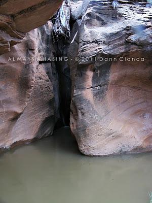
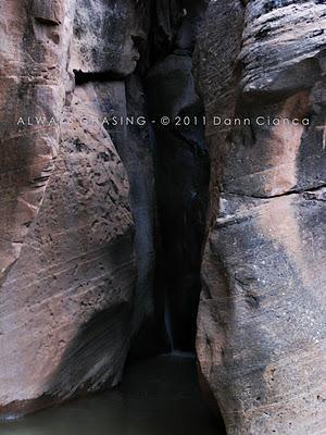
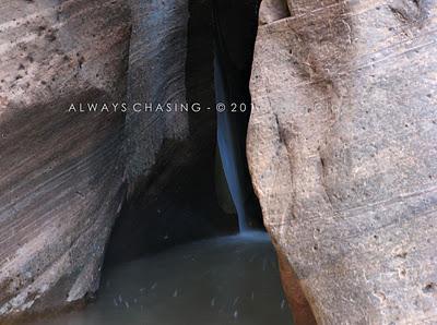
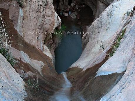
It was starting to get dark, so I head back to the top of the falls to see if I could get any better angles. I lowered myself down in between the rocks at the top of the falls and looked down... realizing that I could probably capture what I was seeing. I placed my tripod carefully so that two legs sat astride the threshold and one between my legs in the water. And these turned out to be my favorite shots of the hike...
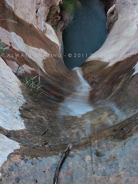
The light lowered quickly as I made my way back to the Tabeguache Trail. Heading back up the trail was much more difficult that coming down, mostly because it was uphill. I didn't want to spend too much time on the trail after dark, so I pushed my progress.
As I neared the top, I briefly entertained the idea of heading into Rough Canyon from the top to see if I could get to the petroglyphs (which I had missed on my previous hike) for a little night photography, but I decided against it.
Detail Map:
I still contend that Rough Canyon is one of my favorite places on the Western Slope.
Dann.
