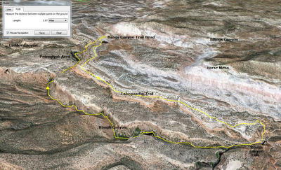
When an opportunity came to visit the area again, I jumped. I was showing a new co-worker, Shannon,around the area and chose the canyon because of how interesting it was. I hoped to be able to finally make the complete loop, heading down the Tabeguache Trail and then back up Rough Canyon to the Mica Mine trail junction.
So, I picked up Shannon and we hit the trail on a hot summer morning. The temperature hit 101ºF at the airport that day, which may have been a little too warm for hiking weather. But, we hit the trail pretty early, so while it was quite warm, it wasn't hot... yet.
The Tabeguache Trail is essentially all down hill for our purposes, so that went quick. Much to my dismay, the once rushing creek was dry. Only a few pools remained at the top of the waterfall and they were full of tadpoles. Apparently the noisy frogs from my previous visit had been busy.
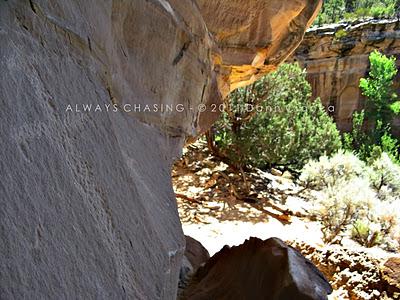
From the top of the dry falls, we headed upstream in the canyon. The temperature was definitely climbing, but we found enough shade from the tight canyon walls to provide relief. I was going through a lot of water, however.
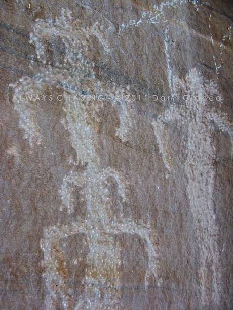
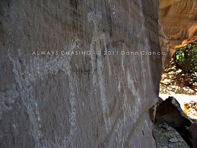
It's funny how much a place can change with the existence or absence of water. While the Cottonwoods still were full of green leaves, the underbrush, which was lush during my last visit seemed thin. We passed by all of the waterfalls that I had seen in previous visits and found only the occasional muddy pool. We did, however, find the petroglyphs, which I managed to take a few photos of.


At only four miles, round-trip and about 650ft of elevation gain on the way back up, it isn't the most strenuous hike... but it was hot! Now to take on the lower section of the canyon all the way to the Gunnison River or up the deep slot that comes in above the falls. Still plenty to experience in the area!
Detail Map

Dann.
