What3words … because words are much easier to remember
What3Words is a relatively new geocoding system that is actively being used around the world to help make it easier to describe the spatial location of an area. According to the United Nations about 75 percent of the world (almost 4 billion people) has not been properly addressed, making it hard to locate where people live, something that we take for granted here in Canada.
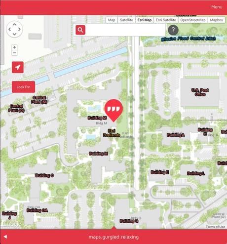
What3Words provides an online mapping application and mobile web apps for smart phones (Android os and iOS) that people can use to identify any location on the globe using distinctive three word combos. Considering at least 5 billion people on earth do not have a proper home address, What3Words could be considered a useful tool for people living way from the modern grid.
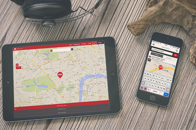
To determine what your 3 word address is, or determine where you are Located using the What3Words geocoding system simply:
- Go to the What3Words website – https://map.what3words.com
- Either your current address or GPS coordinates into the search box found at the top of the map, or use the mouse with the map to navigate to your location (e.g. enter 301 Front Street W, Toronto, ON M5V 2T6 and you will be at dearest.rebounds.grandson)
- Find your unique 3 phrase What3Words address appear at the bottom of the screen
You can also type any three words into the search box on what3words.com and it will navigate to that unique 3 m x 3 m block (e.g. type cool.geography.maps into the search box and you will end up somewhere along the Avalon Peninsula in Newfoundland).
By canadiangisFiled in: Geo Industry News, Web MappingTags: Addressing, ESRI, geocoding system, Google, mobile web apps, What3wordsAlso Check Out ...
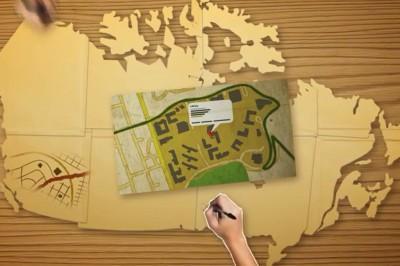
Google has launched a product that they call Map Maker for Canada that provides users with the ability to add and update geographic information for millions of others to see in Google Maps. People can add businesses, create building outlines, move other peoples place markers to the correct locations.
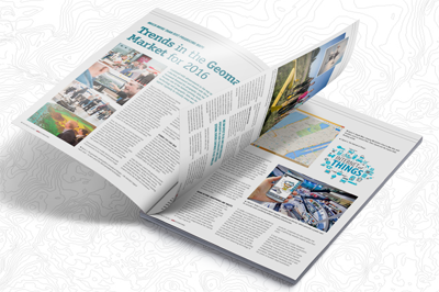
The GIM 2016 Business Guide contains a series of interviews with key players and experts in the geomatics industry (including the article Trends in the Geomatics Market for 2016 by T MacKinnon), geospatial company listings, extensive product and market reports, an events calendar and more. It is distributed among subscribers of GIM International, visitors of international trade shows throughout the year and is available free as a downloadable online edition.
DMTI Spatial, a Canadian location intelligence company, has recently been awarded the Domestic Vector Data Set contract by the Ministry of Public Works and Government Service Canada (PWGSC) as a result of the exceptional quality of its CanMap® geospatial datasets. The exclusive contract will provide numerous government departments with critical location-based information to help make vital policy and planning decisions.
In the past, the Canadian government has used DMTI Spatial’s data to support the operations of the 2010 Vancouver Olympics, the 2010 G20 Summit in Toronto and the G8 Summit in Huntsville, among other initiatives. This contract provides various federal government departments with critical location-based information to help make important policy and planning decisions affecting the lives of all Canadians.
Geo Community Projects Portal to be Launched August 2016 New Pathway to a GIS Master’s Degree for Fleming College Graduates
