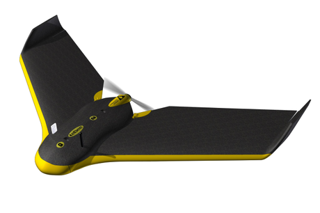
While you can find quite detailed satellite photos via Google Maps, their quality may not be suitable for some more sophisticated or marketing purposes. Utilizing SenseFly eBee Drone, you may now equip yourself with your very own aerial maps and 3D models at down to 5 cm precision. You simply download eMotion 2 flight planning and control software, and hand-launch the drone in the air. When the work is done the drone lands autonomously with precision of up to 5 m. Then, another software comes into play, the Postflight Terra 3D-EB allowing you to edit the captured images. Outfitted with a 16MP camera, SenseFly eBee electronically controlled drone comes with a battery that lasts for up to 45 minutes flight, covering up to 1.5-10 km2.
