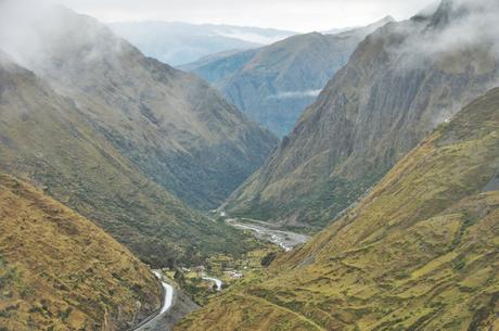
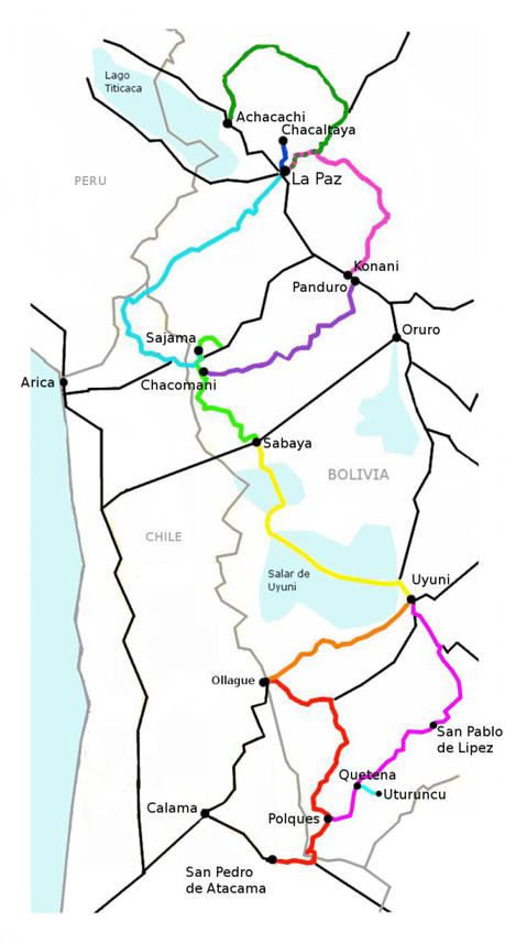
After eighty fast kilometers on the not-very-busy, large shouldered highway, we came to the cut off which would bring us through a four-hundred kilometer route to La Paz (instead of going straight there on the 120km flat paved highway). This route will take us up a 4,800m pass before dropping all the way down to 1,000m as we cycle through the South Yungas region of northern Bolivia, after which we will have to climb all the way back up to 4,700m in order to head back onto the altiplano and into La Paz. In total this route will involve 10,000m of elevation gain, which, to put into perspective, is like climbing Everest from sea level all the way to the top… plus another 2,000m just for kicks. Needless to say, we have a whole lot of ups and downs to look forward to!
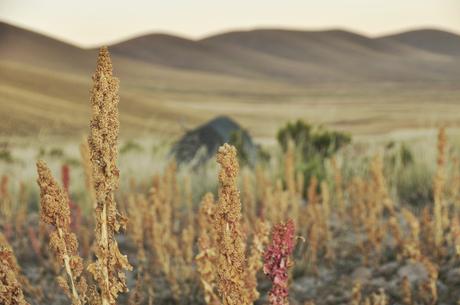
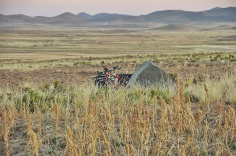
Sleeping next to a field of quinoa before our first climb. Besides quinoa, the only thing they can grow up here are a multitude of different potatoes (many of which aren’t found anywhere else).
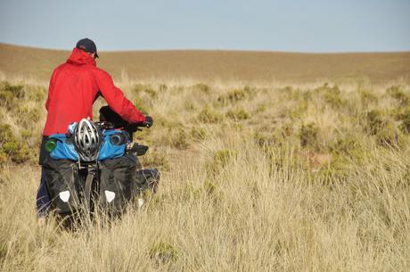
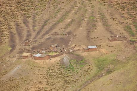
As we started up and over the pass we saw sheep and cows for our first time (before it was only llamas), and every car which passed honked, smiled, and waved which made the climb a lot more enjoyable. We also passed through a few nearly abandoned villages (there is a huge influx of people moving from the village to the city in search of work) as well as some random houses scattered about.
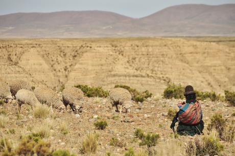
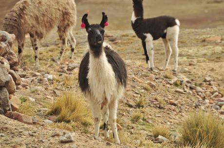
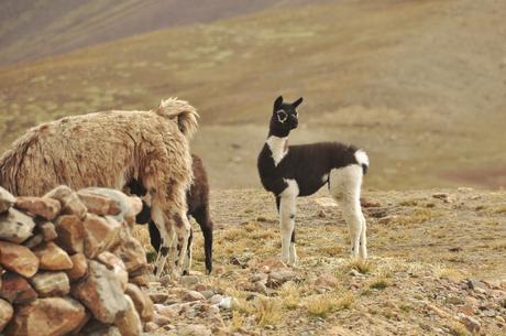
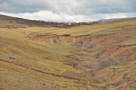
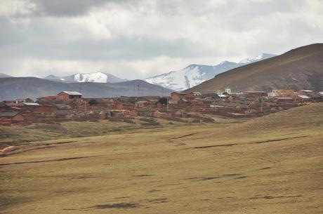
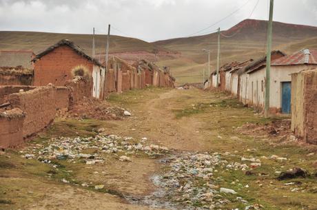
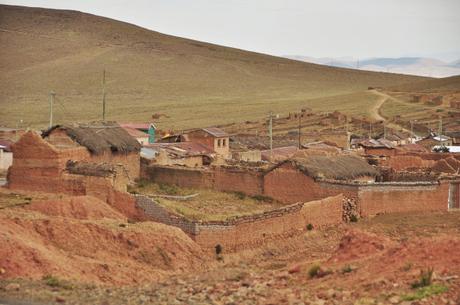
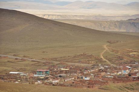
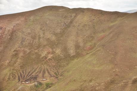
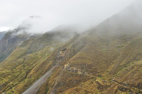
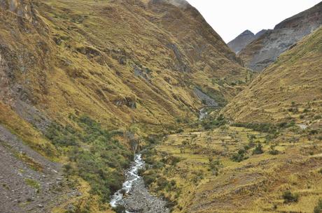
The valleys and canyons throughout this region were astounding! Though these photos don’t do it justice, the hillsides were covered with walking paths and fields, like green patchwork quilts.
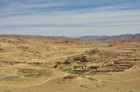
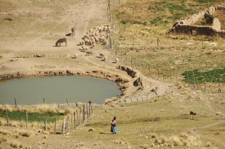
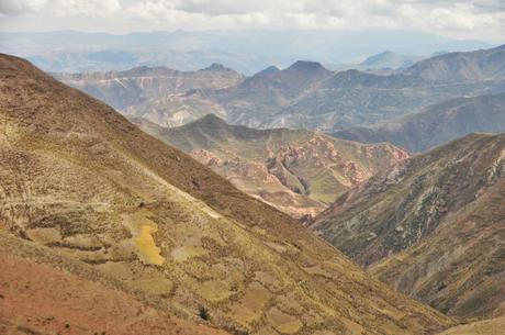
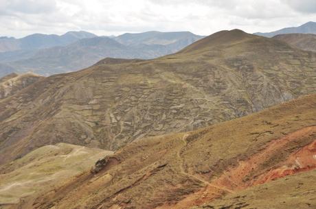
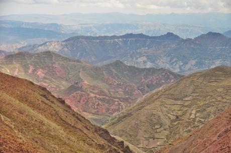
This type of lifestyle is awe-inspiring… Imagine living at over 4,400m in the middle of nowhere!
As we neared the top of the pass a storm rolled in, and as we turned a corner 7km from the top, we were suddenly hit by ferocious headwinds and an icy/snow mix which pelted our faces. We were wet and cold, and though we knew that multiple beautiful peaks were literally right next to us seemingly within reach, we could hardly see a thing as we climbed the rest of the pass through the thick clouds.
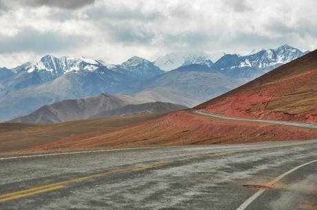
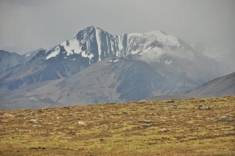
Some of the nearby mountains before the clouds obscured everything. Though there were other beautiful glacier covered mountains right beside us as we climbed the last section of the pass, we only saw them occasionally through the dark clouds.
After reaching the top of the pass, which is normally when the fun begins, we started on an awful descent since our wet hands were so cold that we couldn’t feel them. We ended up stopping every few kilometers in order to warm them up enough to be able to squeeze our breaks, but each time we did, it was even more painful because of the tingling. Thankfully as we descended the clouds began to part and we were finally able to see the lush green valley we were headed down into.
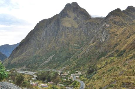
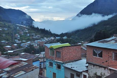
Finally, after a full day of cycling, we arrived to Quime which we assumed was a small town like all the rest. Instead, we turned the corner to find a huge city all built into the hillside, and right as the sun was setting, we found a local room for three dollars a piece and were finally able to change out of our wet clothes and get a nice hot meal of soup, rice, meat, and potatoes.
Pikes on Bikes technical details for this route: We took the highway from Oruro to Konani before following the pink route (to Quime) which will eventually lead us around to La Paz.
For a photo of the day and other updates follow me on facebook here, and for some awkwardly cropped photos from our journey, follow us on Instagram @awanderingphoto!
