Monday 5th December 2016
So, there was no marker, monument or statue to denote the end of the Two Rivers Way… I’d read in advanced that it finishes at the A4 Bristol-to-Bath road, where the Community Forest Path (about fifty miles) begins.
More pressingly, I needed to get back to my car and I was a good couple of hours away with some ‘urbanised’ walking to follow immediately.
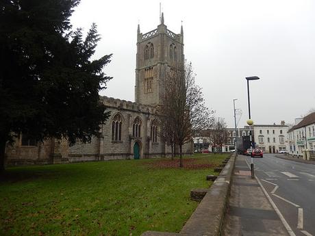
From the A4 then, I joined the A4174 and followed this on towards what I’ve always thought of as Keynsham’s high street (it’s a busy road but there are plenty of shops). I turned right after the church and now heading towards Stockwood Vale; hoping to escape from it all.
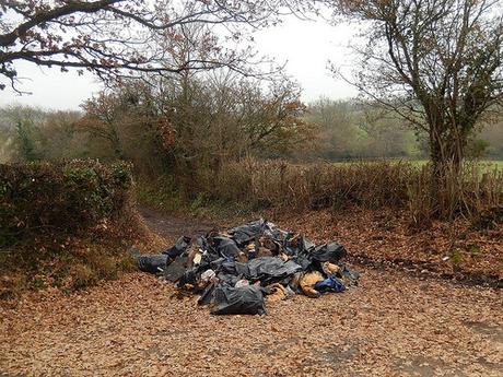
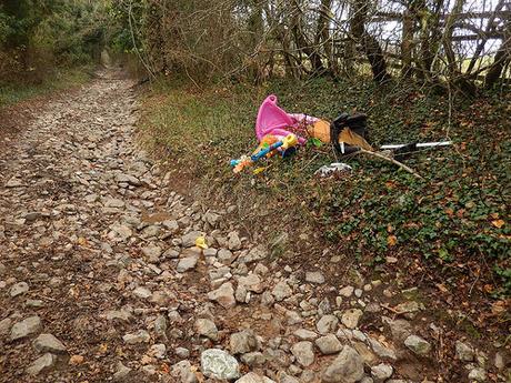
I climbed up a fairly quiet, dead-end road towards Charlton Bottom. Looking now, I could’ve attempted to follow a series of quiet streets, passing by a school site in order to halve the length of road walking. From the top of the road, I looked to turn left along a byway – at the top of which, I found the carelessly discarded pile you can see above.
Sadly, this is very typical of quiet lanes and byways across all parts of Somerset. Yet, I was still surprised to find it only a mile away from two busy A-roads. I have also reported it.
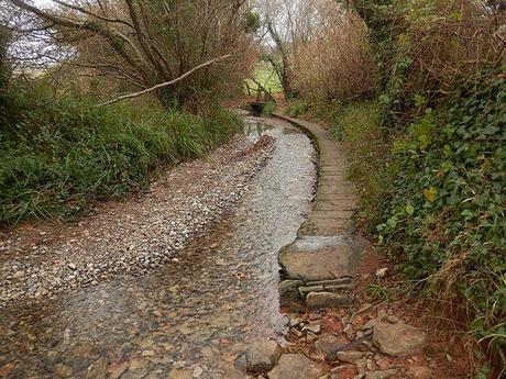
Beyond that, my spirits rose when I found not only a stream following the byway but a raised pathway alongside it… Was this going to be the most delightful byway-walking experience that one could ever hope for?
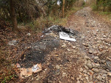
In a word, no, as the succession of illegal deposits continued for about half a mile, as the gradient increased. From kids’ toys to car parts – including a passenger door… With such large rocks under foot, I find it hard to believe your average transit van could’ve done this successfully.
Stockwood Vale Golf Course continues down the western side of this lane.
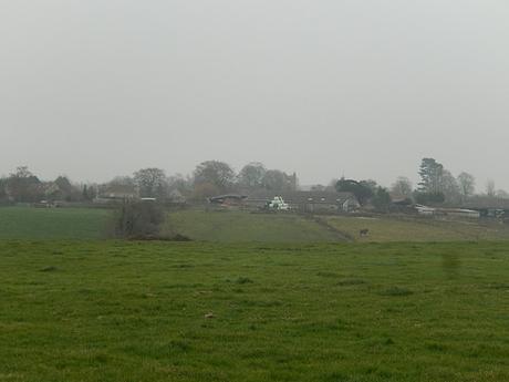
After a good mile of this route (although, it felt like much more), I decided to turn left on to a footpath following a series of fields that would lead me to the rear of a farmyard.
Ahead, I could soon see this would mean crossing a steep-sided valley; descending sharply on one side before a steep ascent of the opposite side. It was muddy but at least there were no cows.
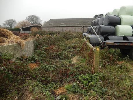
I found the waymark easily enough but the path beyond was very heavily overgrown. Beyond the part which was almost bearable, the overgrowth totally consumed the way forward.
From my map, I could clearly see that the right of way passes to the ‘left’ (east) side of the barn… I could’ve walked around the right, where an un-permitted way in to the yard and beyond seemed clear. But, I did not feel confident in doing so. I couldn’t predict who, what or how many locked gates may lie ahead. It was a Monday late morning/early afternoon and the atmosphere was almost too quiet for my liking.
This, I’ve also reported.
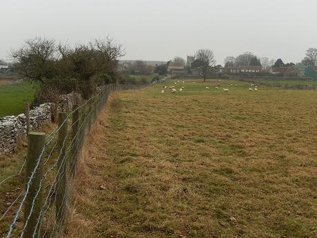
I ended up retracing my steps across the valley for another half-a-mile stint of the byway, where my next footpath was very clearly defined and easy to follow, between a stone wall and wire fence.
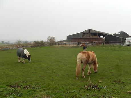
I attempted to take recognisable photos of these horses from across the wall but they were extremely timid.
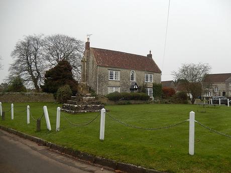
Reaching a road, I had officially arrived in Queen Charlton. This scene is familiar to me and may be for anyone else who’s driven through the area.
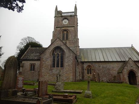
Straight across the road was the church. In to the churchyard and off to the right, I found a quiet bench placed in front of a wall and beneath a tree. It was time for lunch.
After, perhaps, thirty-seconds, I found yellowy-brown stains on my backpack, my map case and one of my gloves… Fearing the worst when you see the color and texture, I gave it a careful sniff… But, there was nothing. My best guess is that I had sat on some kind of decaying fruit that had once fallen from the branches above… Now, I check my seat carefully before sitting down. Each and every time!
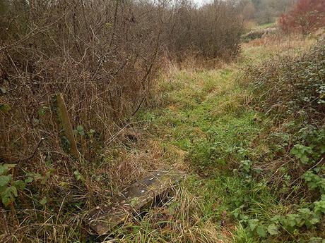
After a welcome lunch, I followed Highwall Lane for a good mile; then crossing the road at its end to follow a clearly marked footpath in the direction of Blackrock.
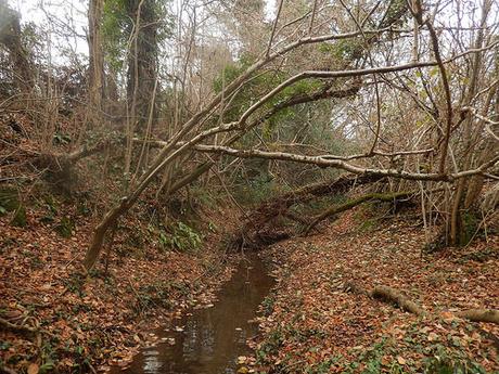
At the very end of this gradual descent, I joined the road beside a shallow watercourse. From here on, my walk would remain mud-free, as I continued along the tarmac for the final couple of miles.
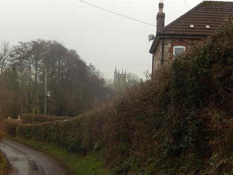
I could’ve made this a more interesting and ‘adventurous’ end to a day’s walking but I was more intent on making a safe return, taking less mud home with me and beating the afternoon traffic.
My main aim, for this day, had been to finish the Two Rivers Way long-distance path and I had certainly accomplished that. I am quite keen to return to this one day and attempt a different return route though. Possibly in the summer.
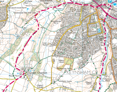
[Image from ordnancesurvey.co.uk]
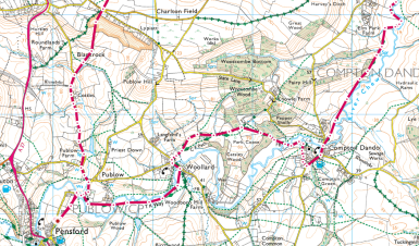
[Image from ordnancesurvey.co.uk]
