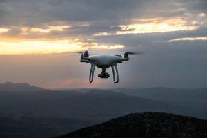
- Rich and accurate data sources will be vital for safe drone transportation
- In the Autonomous World, ground and airborne vehicle traffic will need coordination
 Soon it may not only be our roads that are congested. The growing popularity of drones, whether for recreational or commercial use, has highlighted the challenge of managing traffic in low-altitude airspace. Moreover, in the future Autonomous World, the traffic of both airborne and ground vehicles will need to be well orchestrated to ensure safety and efficiency.
To help meet these needs, HERE Technologies, a global leader in digital mapping and location services, and Unifly, the leading provider of Unmanned Traffic Management (UTM) software, are teaming up to jointly enable airspace maps for drones.
In the first phase of their collaboration, the companies plan to enable an airspace map for drones that covers both rural and urban areas, and marks out no-fly zones, such as airports, residential areas and sensitive government installations.
In the second phase, the companies plan to further develop the system to support the management of drone traffic flow and even collision avoidance, much like air traffic controllers do for the airline industry today. Longer-term, the aim is to explore how drone transportation and logistics can be integrated seamlessly into the broader transportation system.

