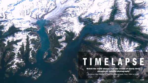
With its latest project called Timelapse, search giant Google has found an interesting and visual way to show us how different parts of the earth have changed during the past 28 years.
On their official website, Google explains more about how NASA and the U.S. Geological Society have been gathering high-res images of the earth for 40 years through their Landsat satellites.
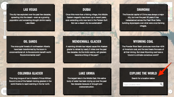
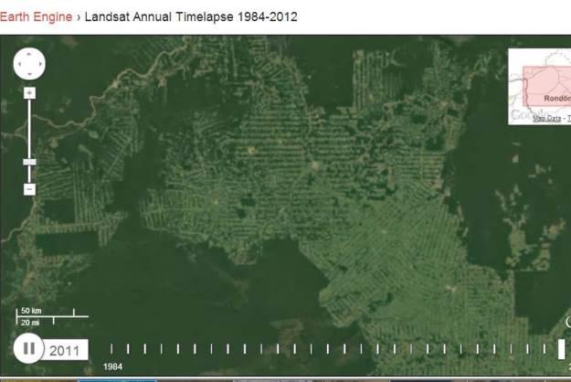
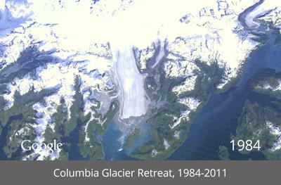
You can watch the trends in deforestation in the Amazon from year to year, shrinking of the Columbia Glacier, or see just how much the city of Las Vegas has grown in a little more than two decades.
Overall, it’s a tool that perfectly shows the impact of human activity on the planet, either for exploring the dramatic and sometimes scary changes happening in the world or just to see how much a place you know may have changed or not since 1984 through 2012.


