City Maps coloring book for adults
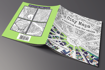 Recently adults all over the world have suddenly started to go crazy over coloring books. This coloring book fad started a few years back, when “Secret Garden – An Inky Treasure Hunt and Coloring Book” by Scottish illustrator Johanna Basford was published in 2013.
These days, you will find adult themed coloring books almost everywhere and featuring a wide range of themes from Harry Potter to Star Wars.
Now Gretchen Peterson, a well known author in the cartography world has brought this latest craze to the geospatial community. Coloring maps can be very relaxing, especially when it is for fun and you do not have to worry about the end product.
So there was this one time when I said Why are there no map coloring books? And everyone was like Yeah why not?!
— Gretchen Peterson (@PetersonGIS) March 25, 2016
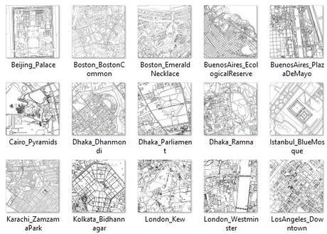
Preview of some of the pages in the City Maps coloring book for adults
“City Maps: A coloring book for adults” includes over 44 black and white maps from all over the world (from Paris to New York City …) , just waiting to be customized with your own cartographic color combinations. Anyone can color these real world maps any way they want! A great book to add to your growing cartography library …
“City Maps: A coloring book for adults” will become available April 1 2016, but is available to pre-order here …
http://candiangeo.info/City-Maps-coloring-book-for-adults
By canadiangisFiled in: Geo BooksTags: adult coloring books, Cartography, City Maps, City Maps coloring book, Geo Books, Gretchen Peterson, Harry Potter, maps, Secret Garden
Also Check Out ...
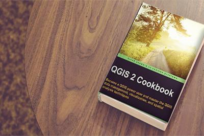 QGIS 2 Cookbook
The QGIS 2 Cookbook is a large collection of techniques (simple through to advanced) that are used in everyday geomatics work, with detailed process to help accomplish those tasks using QGIS. By the time you are finished with this book, you should have all the necessary knowledge to better handle and visualize geospatial data, with QGIS.
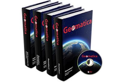 PCI Geomatics Expands Provides Free Access to Online Coursebooks
PCI Geomatics, a world-leading developer of remote sensing and photogrammetric software and systems, announced today that the company is making its training textbooks available to the general public. Until now, the textbooks were only available as part of a complete training program. The information contained is the training textbooks can be …
 Land Applications of Radar Remote Sensing
The book Land Applications of Radar Remote Sensing demonstrates the use of SAR data in land cover, topography, and land motion. The authors go into extensive detail providing a complete review on speckle and adaptive filtering, as well as the generation of Digital Elevation Models (DEMs) and terrain modeling.
This remote sensing book is completely free to read online as well as download in PDF format.
Canada Explained in 7 Maps
