Most Americans that make the long drive through Canada to Alaska use the Al-Can Highway going both directions, to me that’s just plain crazy talk. If you’re going to take a long road trip like that, the least you can do is mix it up a bit! When we took our road trip from Florida to Alaska we made sure to find an alternate route back, and in doing so enjoyed some of the finest scenery one could ask for. We took the lesser known Cassiar Highway and had the opportunity to drive through beautiful British Columbia.
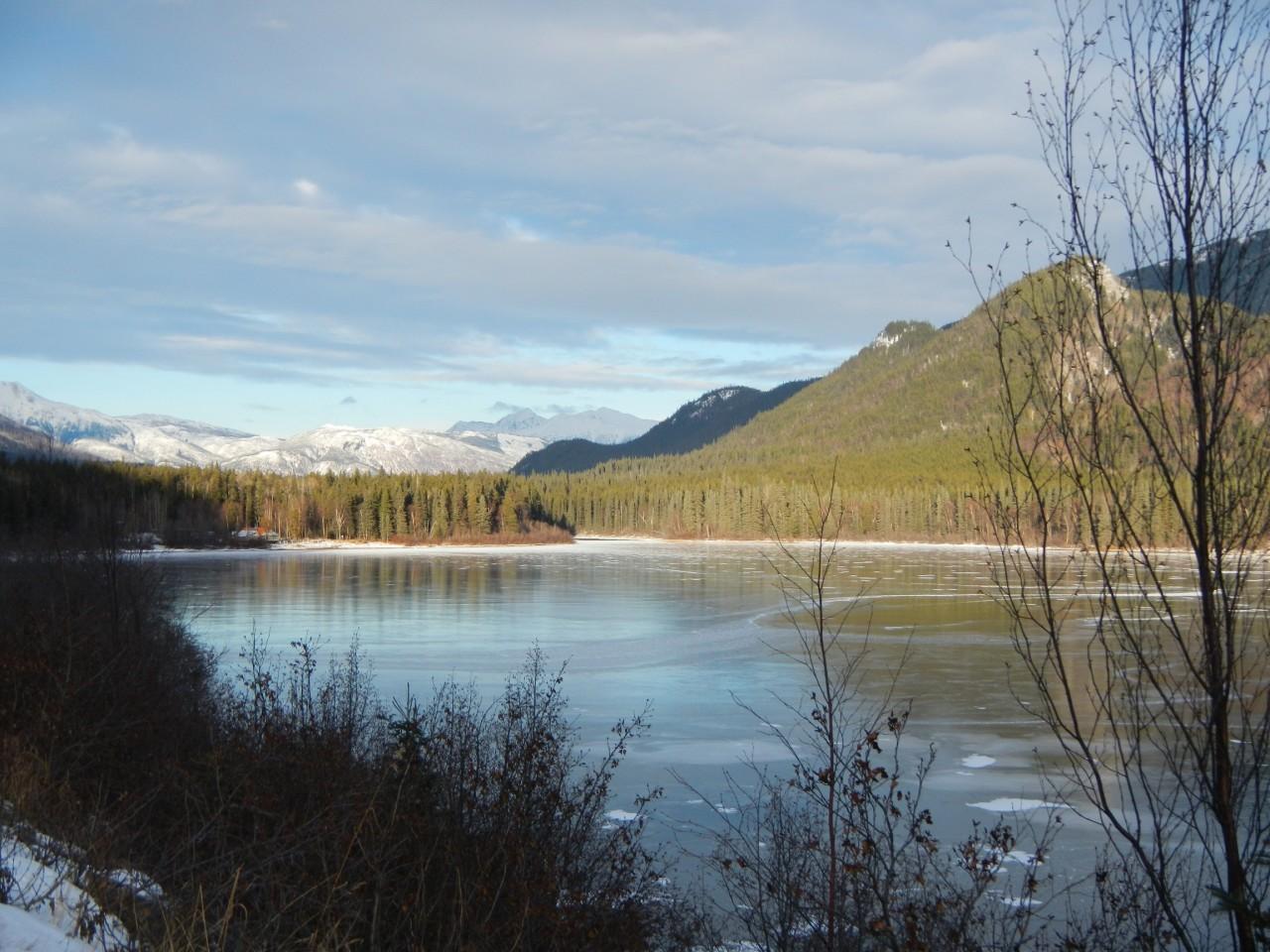
Planning your Cassiar Highway Road Trip
The Cassiar Highway in BC is a much smaller road than the Alaska-Canada Highway and requires a bit more planning as the area can be quite remote. Many adventurers love the drive and will actually fly into Alaska or Northern Canada, find a car rental , then drive all the way south. No matter what time of the year you plan on taking your Cassiar road trip, it’s always recommended that you check road conditions before you head out . We found lots of good information via the Drive BC website.
The other key thing to remember when planning on taking the Cassiar, is to ALWAYS GET GAS!!! Depending on the time of year you travel, many of the gas stations close early or don’t open at all, so when you see one fill up. There’s a junction town at each end of the Cassiar Highway, but you’ll have to fill up at least once along the 450 mile stretch that we took. Take a look at the bottom of this post for a list of gas stations along the route. Just an FYI, the Cassiar Highway won’t take you all the way back to the US (as you can see below) so you’ll have to connect to Highway 16 E and then 97 South to get to Vancouver, BC then ultimately Seattle. In total the full itinerary took us 4-days of driving to complete the 1500 mile trip.
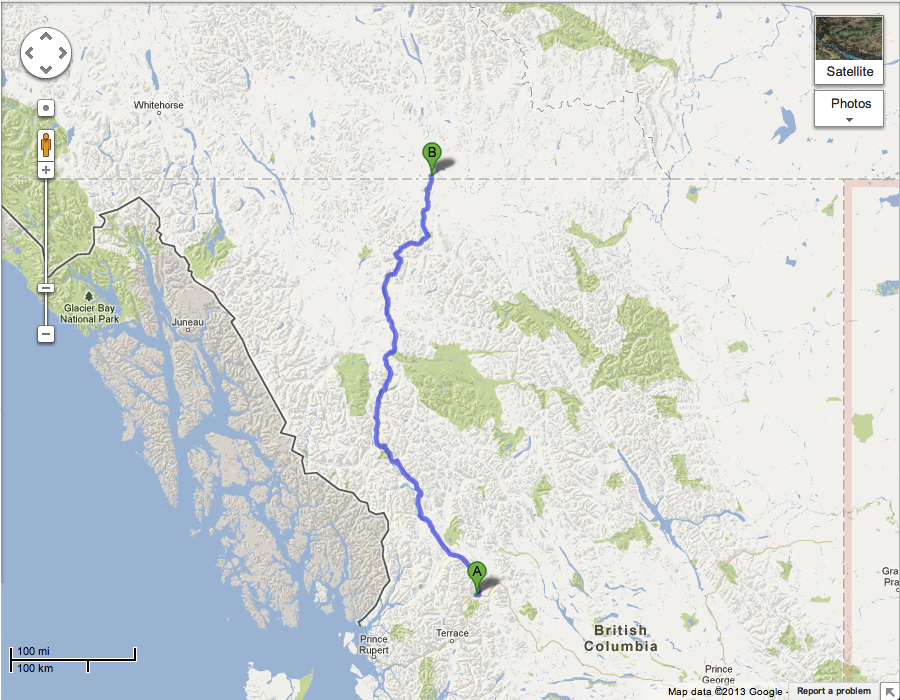
This shows the portion of the Cassiar we drove.
Driving the Cassiar Highway through beautiful BC
We started our 4-day trip along the Cassiar Highway from the small city of Whitehorse in the Yukon Territory. We began our drive headed East on YT Highway 1 (the Al-Can highway) for about 250 miles (400 KM) to get to the entrance of the Cassiar Highway. While it’s a bit of a haul, the drive there is full of absolutely beautiful scenery.
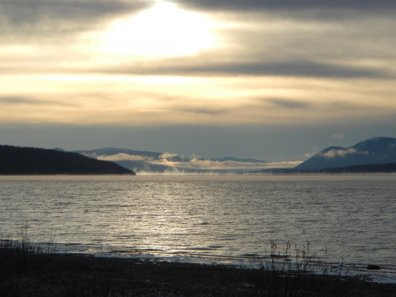
Teslin Lake is along the route towards the Cassiar Highway.
There is one point you definitely want to check out while on this part of the drive. Look for the Johnsons Crossing rest area (the intersection of YT Highway 6) and you’ll find the mouth of the Canol Road. It’s a neat tribute to the road built to support WWII and has some awesome old vehicles and historical information.
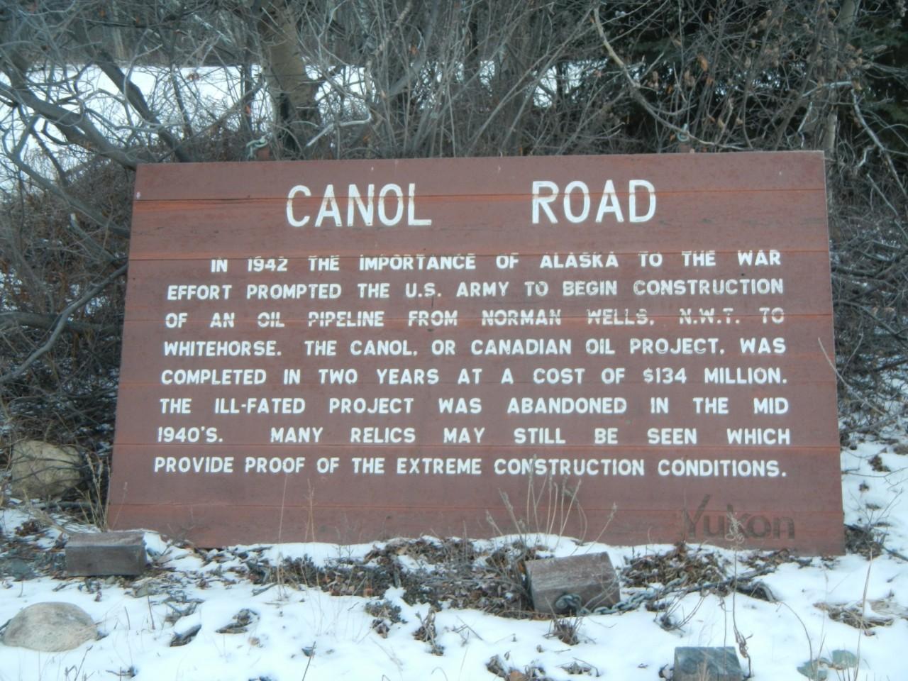
A tribute to a doomed project.
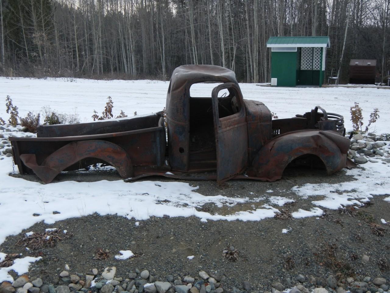
One of many old relics at the sight.
After passing Johnsons Crossing and Teslin Lake, you’ll start to see signs for Watson Lake. The turn off for the Cassiar Highway (Also labeled Highway 37) will be a very small 2-lane road before the actual town. Look for the Beaver Post gas station and convenience shop and make sure to fill up. You’ll know you’re in the right place when you see this sign.
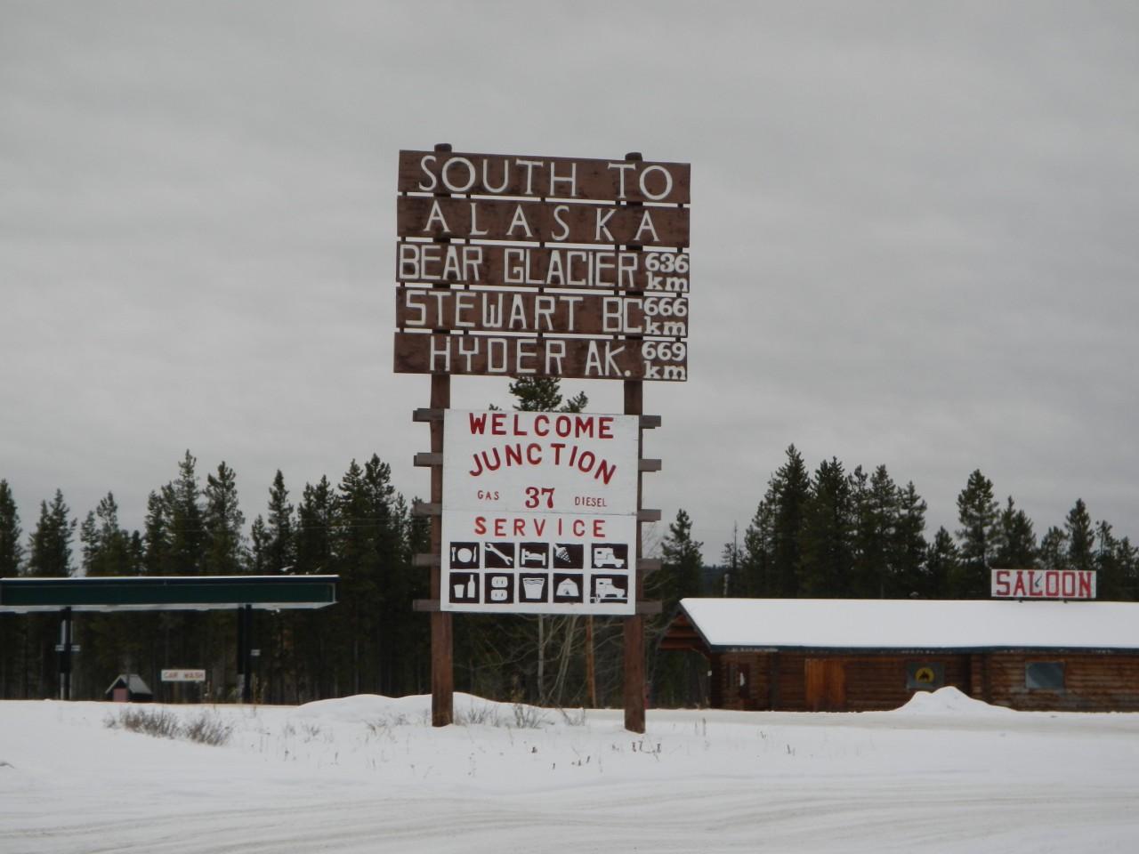
You can miss this sign if you’re going too fast or not paying attention
If you’re wondering why it says you’re going south to Alaska, don’t forget the Alaskan Panhandle runs for miles along the Pacific Coast of Canada. As you head down the road you’ll come across one of my favorite features of the roads in BC, a cool map that outlines the whole route.
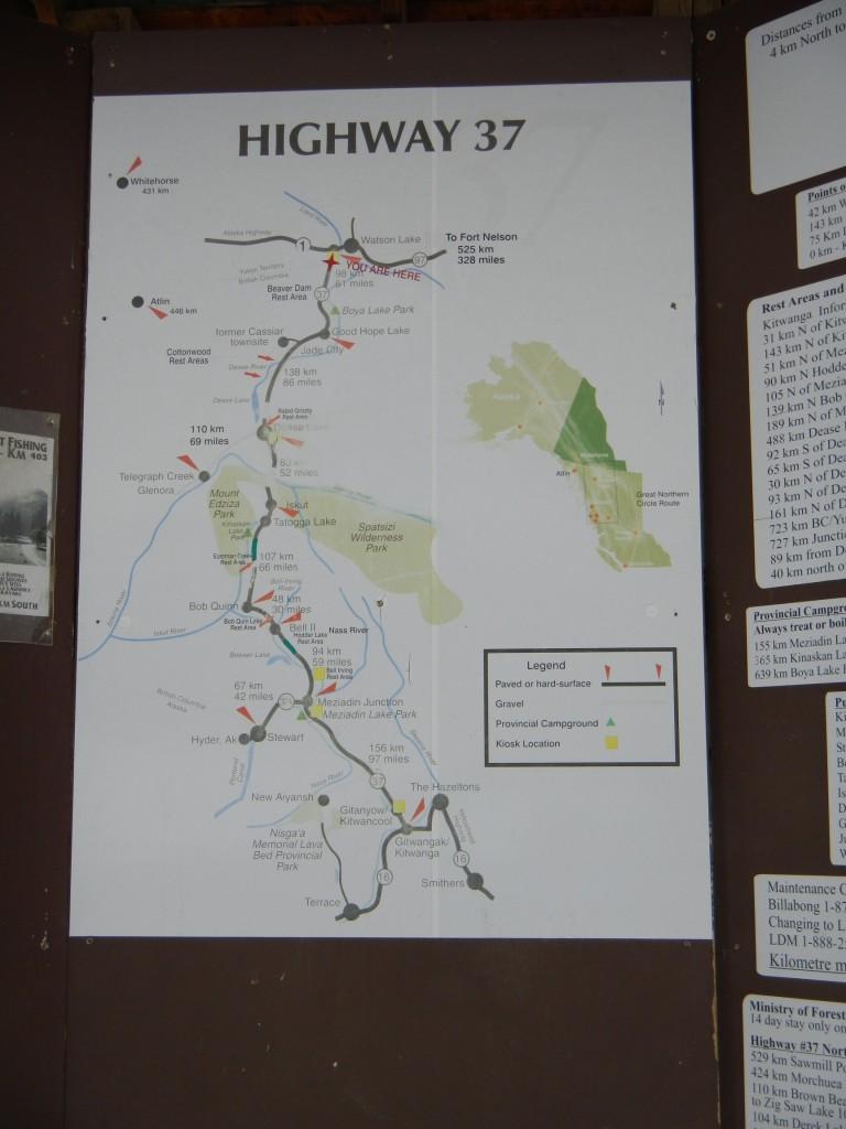
Why don’t we have these in America?!?!
You’ll also get to wave goodbye to the Yukon Territory.
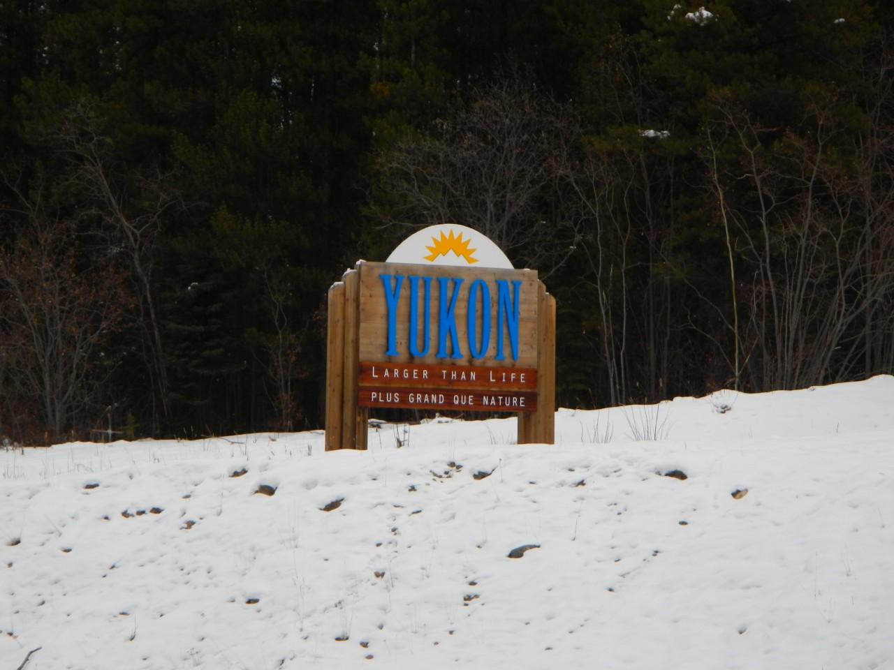
Bye Yukon!
Then immediately say hello to BC, which is apparently the “Best Place on Earth”!

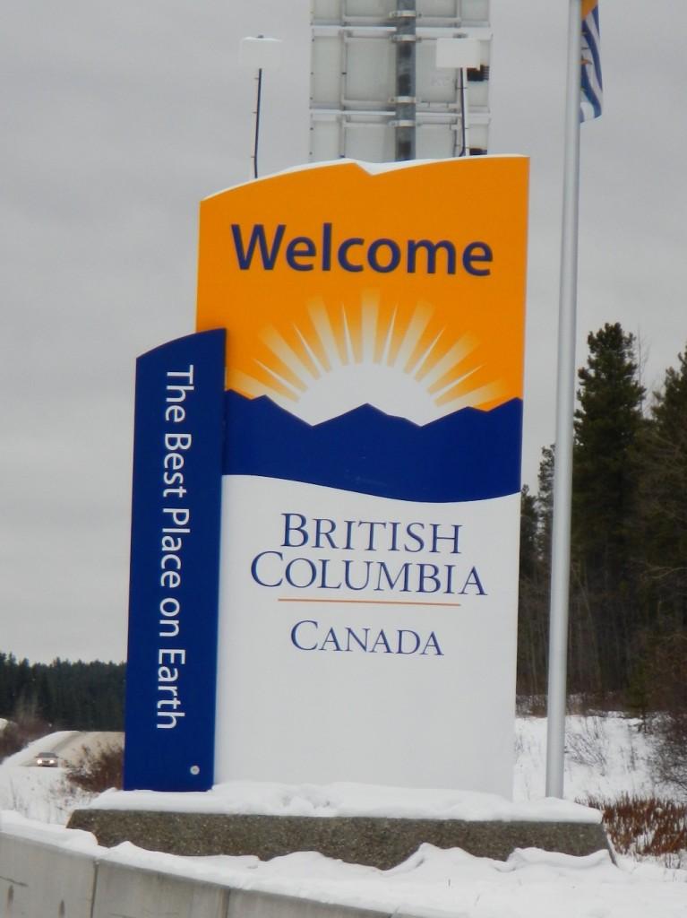
Is it REALLY the best place on Earth?
If you make this drive in the Winter, like we did, expect the road to have a pretty constant snow pack and some rough frost heaves. I’m told there is a lot of road work in the summer to keep it maintained, but the weather conditions here are pretty severe. I have to admit, as we first turned down the road we were pretty worried. We were in our trusty GTI of course, but this road looked worse than the Dalton Highway.
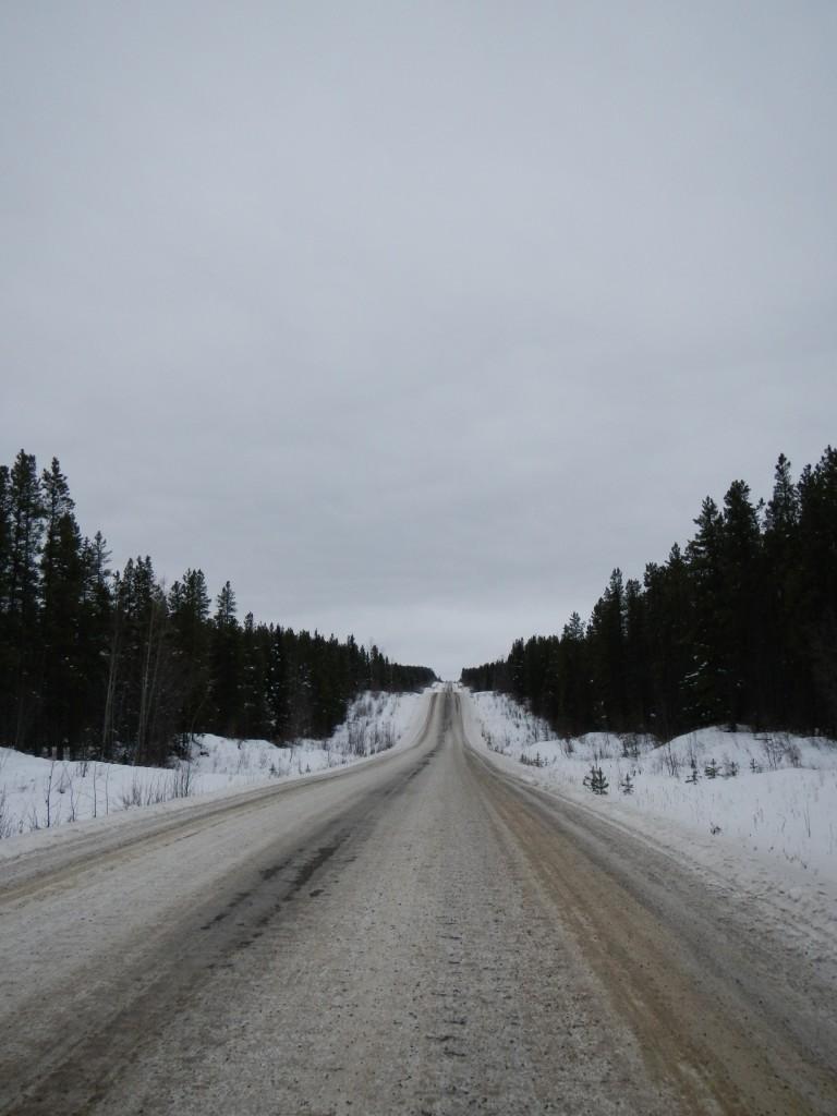
Prepare for a bumpy ride!
We set out with a bit of trepidation, but most adventures that are really worth while are always a bit scary. With our luck, a snow storm hit us as we made the drive, so we spent the next 24 hours in and out of near blizzard conditions. One of the interesting things that happen when you drive through so many elevation changes though, are constant changes in both the weather and the scenery. One minute we would have near zero visibility, then come around a corner and down a hill and run into this.
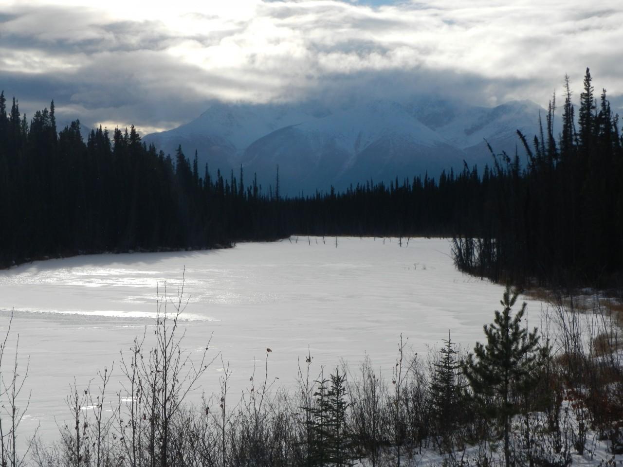
We had to stop and soak this in.
Of course, the other part of the elevation changes, is the constant worry about avalanches.

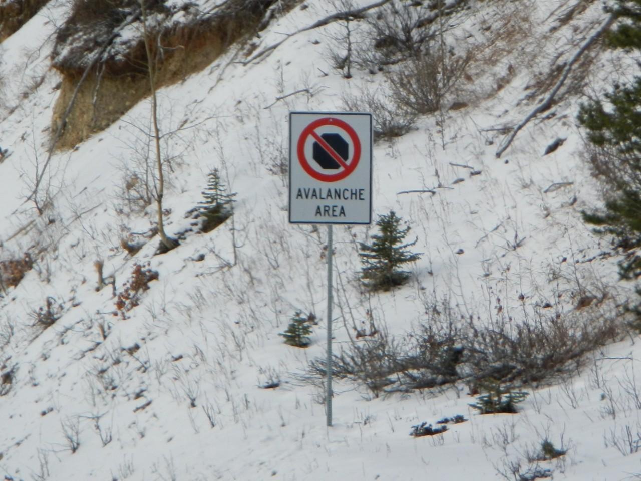
I imagine the threat is highest in mid-winter and early spring.
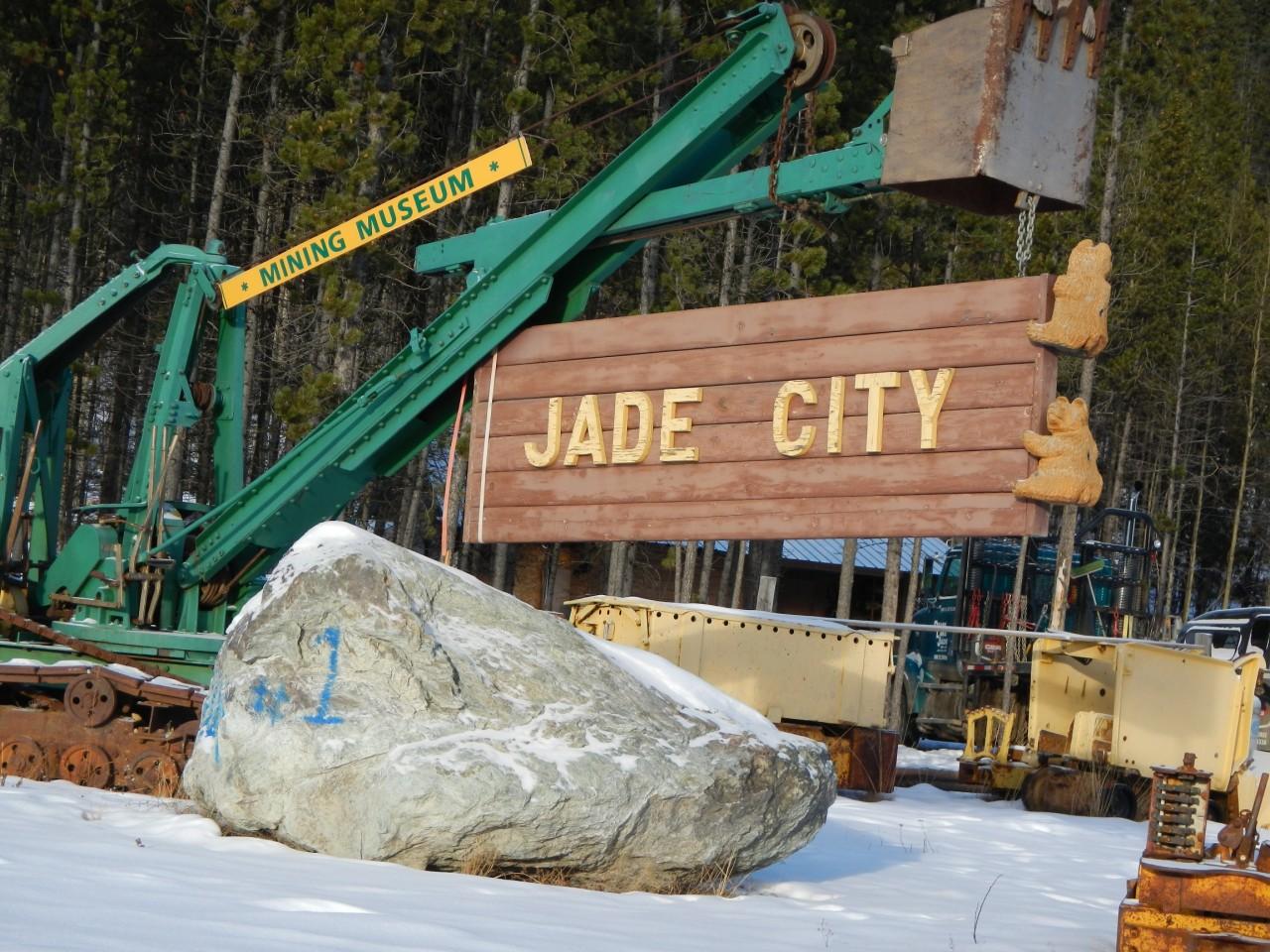
Occasionally, we would drive through a small town or tourist attraction that was shut down. We always like stopping to take a look as they give you that “ghost town” feel.
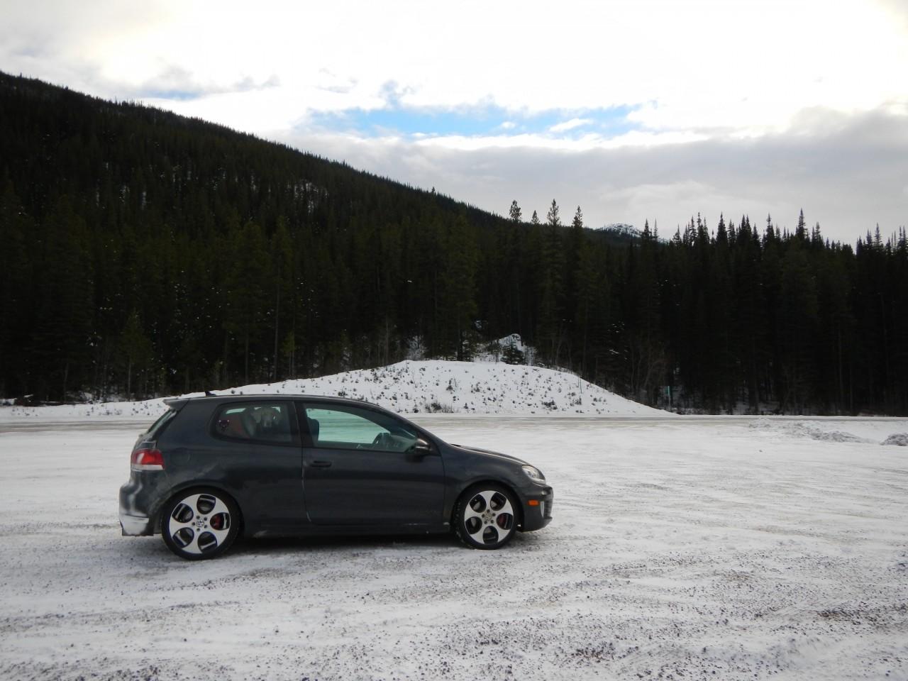
As we made our way along the Cassiar Highway, all concerns about the road conditions were for naught. While I definitely recommend having some driving experience in the snow, our little VW hatchback did just fine.
Hi Britney!
Thankfully, early on the second day of our stretch along the Cassiar Highway, the winter weather broke and we were treated to some choice sites.
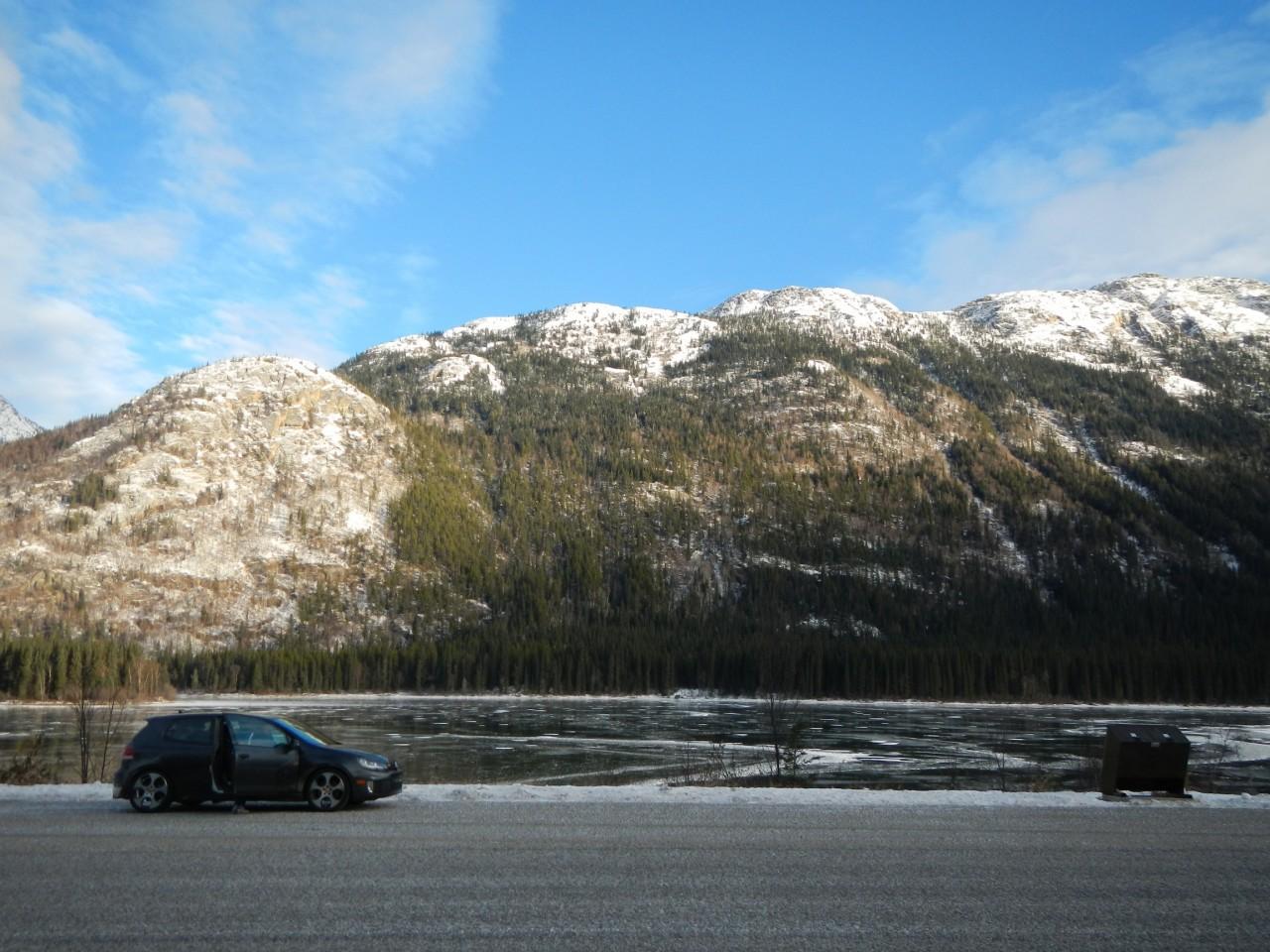
There are seemingly hundreds of lakes dotting the whole drive.
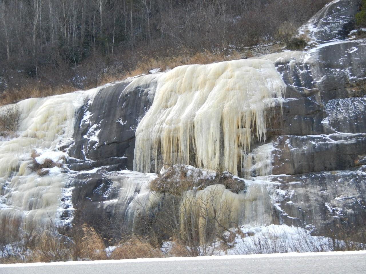
Lauren and I always thought this was really cool.
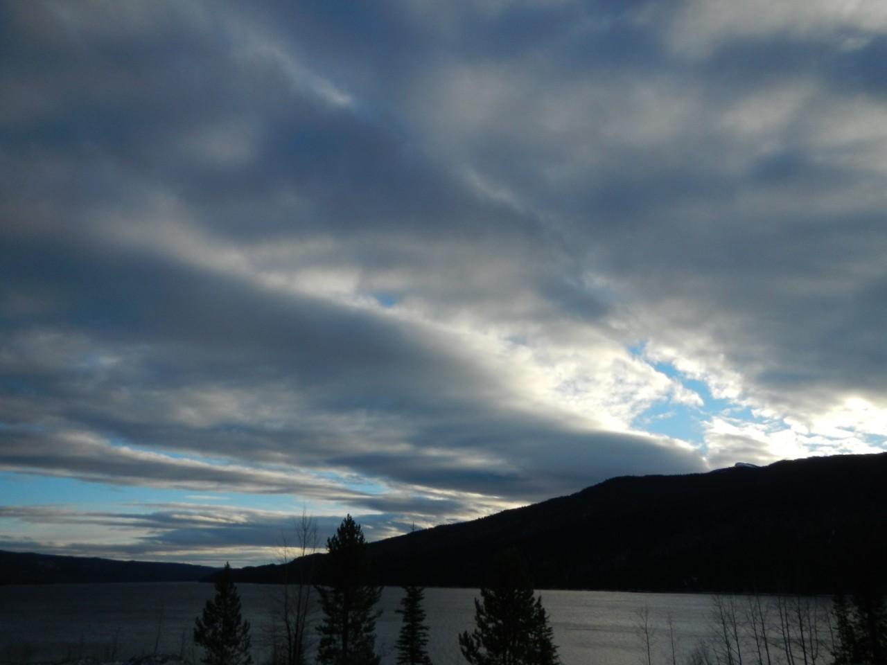
The storm was moving out to the East.
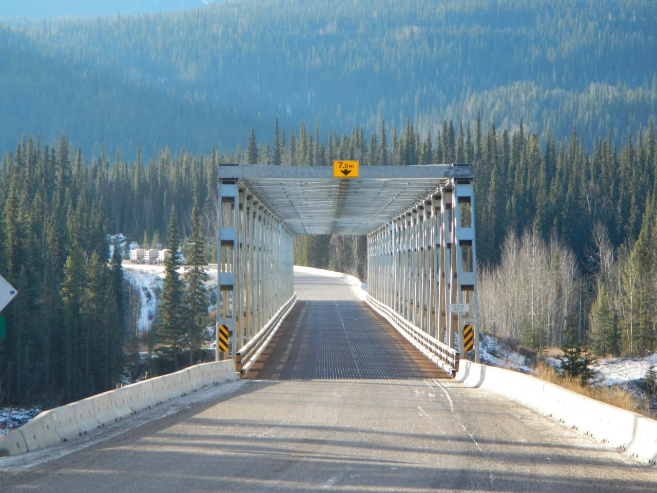
There were also many one way bridges.
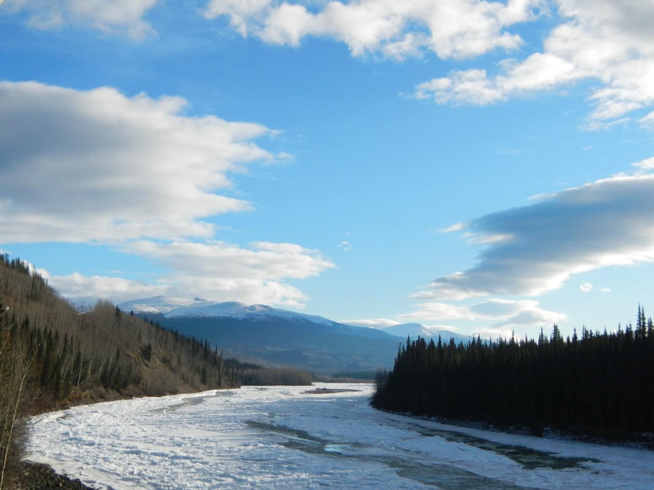
I can only imagine what these look like during spring run-off.
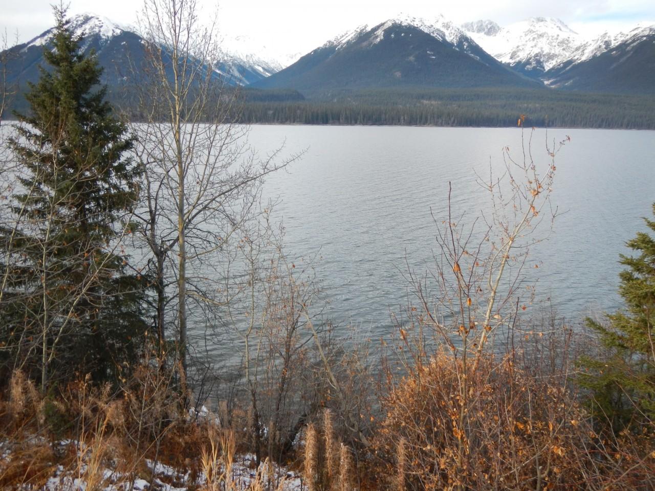
So many pretty lakes!
As you come to the end of the Cassiar Highway you’ll drive into another junction town called Kitwanga. Keep your eyes peeled for a small church on the East side of the road, and take a moment to check out the coolest and most unexpected bell tower we’ve ever come across.
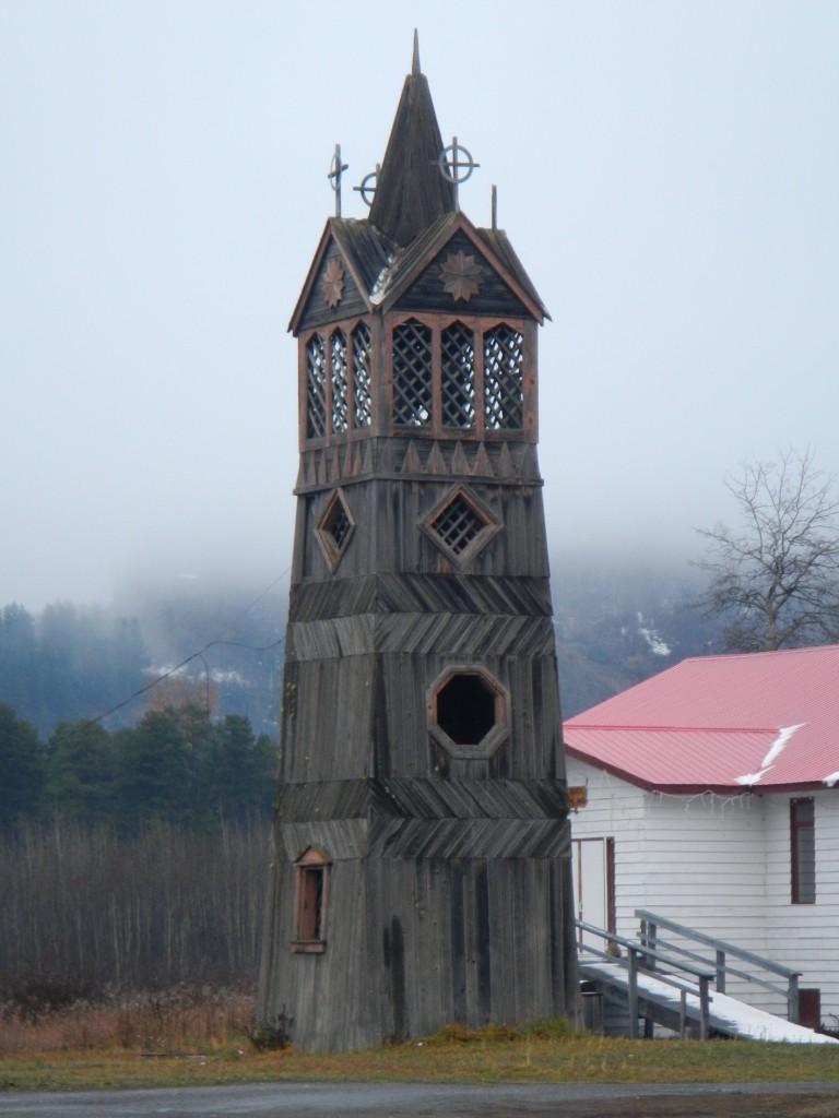
This Bell Tower really stands out in Kitwanga.
Sadly, at this point our drive on the Cassiar Highway came to an end. We turned onto Highway 16 and continued on our way to Vancouver over the course of the next two days. The drive along 16 took us through some really great places as well, but alas that is for another day.

List of Cassiar Highway Gas Stations
Here is a list of gas and diesel stations along the way. The mileage is calculated from South to North starting in Kitwanga. Note that some gas stations do not accept credit cards and operate with varying hours.
- Kitwanga 0 km
- Bell II 249 km
- Tatogga 392 km (summer only)
- Iskut 405 km
- Dease Lake 480 km
- Good Hope Lake 628 km
- Junction #37 & Alaska Hwy 727 km
