The 2016 essay competition for the Dr. Walter W. Ristow Prize is now accepting applicants.
Dr. Walter W. Ristow Prize (History of Cartography)
The Dr. Walter W. Ristow Prize is awarded annually by the Washington Map Society, to help recognize academic achievement in the History of Cartography. It honors the legacy of the late Dr. Walter W. Ristow, former chief of the Geography & Map Division, Library of Congress, and co-founder and first president of the Washington Map Society.
This competition is open to all full or part-time undergraduate, graduate, and first year post-doctoral students attending accredited colleges and universities anywhere in the world.
Several Past Ristow Prize winners and Honorable Mentions have come from outside the United States.
Research papers must be related to the history of cartography. Merely using maps to relate an episode in history is not sufficient, unless the maps date from the period of the event, and/or disclose new information about that event, and/or the study of those maps constitutes a major focus of the paper.
The winner of the Ristow prize will receive:
- $1000 (USd)
- a 1 year membership in the Washington Map Society
- publication of the History of Cartography paper in The Portolan-Journal of the Washington Map Society
- 6 copies of The Portolan in which the paper will be printed
Submissions are due June 1, 2016, and should be sent to Dr. Evelyn Edson, 268 Springtree Lane, Scottsville, VA 24590, U.S.A.
For details, contest criteria and other useful information visit the Ristow Prize contest page: http://www.washmapsociety.org/Ristow-Prize.htm or send inquiries to [email protected]
By canadiangisFiled in: Historic CartographyTags: Cartography, Dr. Walter W. Ristow, History of Cartography, map, Map Society, Portolan, Washington Map SocietyAlso Check Out ...
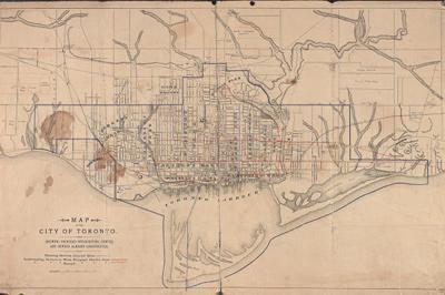
 Historical Maps of Toronto
Historical Maps have existed in libraries & various personal collections for years but thanks to advancement in digital technology and the internet, we have started to see more old maps being shared in the geospatial community. The Historical Maps of Toronto blog provides simple and free access to a large selection of notable historical maps of the Toronto area that have been scanned from collections at the Toronto Library and the Toronto archives.
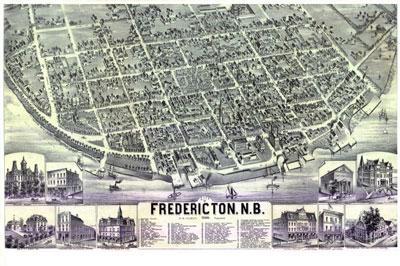
 Interactive Historical Maps of Fredericton, New Brunswick
A collection of historical maps and plans of Fredericton, New Brunswick are freely available to the general public.They have been georeferenced so that they can be visualized with various mapping applications (Google maps, Bing maps, Google Earth, ArcGIS etc.), includes metadata and tools for searching have been incorporated.
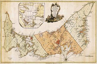
 Historic Maps of Prince Edward Island
The “Island Register” website is an amazing online resource for information on Prince Edward Island genealogy, with a database with more then 1150 lineages and 4500 documents, including photos, maps, ship logs and much more. Some of the scanned maps that you can download include …
Follow @CanadianGIS on Twitter
