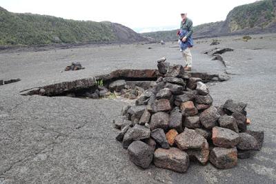
In the Kilauea Iki Crater in Volcanoes National Park, Hawaii
A week ago, on our trip to the Big Island of Hawaii, Art and I were hiking across what felt like a moonscape–the hardened lava at the bottom of the Kilauea Iki Crater in Volcanoes National Park. It had not been our first plan for the day, but when we woke up in Hilo that morning to pouring rain, we decided to take the 45 minute drive to the volcanoes and hope for better weather. We did encounter some rain, but found the cool, mostly misty air perfect for hiking.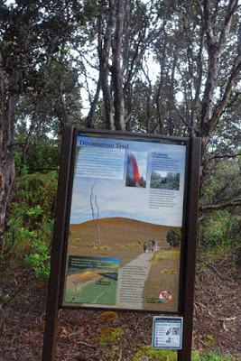
Beginning of Devastation Trail
We started our day with a short hike from Crater Rim Drive along the Devastation Trail. The path goes through a vast cinder field, created when a violent eruption of Kilauea in 1959 covered the area in scorching cinder.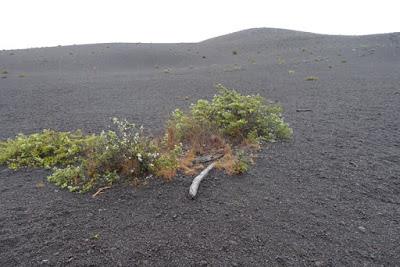
Cinder deposit on the Devastation Trail
The thick rainforest at the beginning of the trail shows what disappeared when the hot cinders rained down. Since then patches of trees and flowering shrubs have begun to regrow, seemingly out of nothing, and were home to flocks of noisy birds.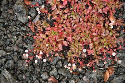
New growth on top of the cinders
We also encountered a pair of pheasants, introduced as game birds and now gone wild. We had hoped to see some nene geese, Hawaii’s national bird, but had no luck. Signs along the path admonished us not to pick berries because they are the nene’s food.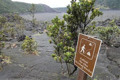
Beginning of Kilauea Iki trail across crater
We then drove back toward the Kilauea Iki Crater trailhead and began the four mile round trip hike down into and across the crater. After descending 300 feet from the crater rim, we followed the path across the crater, marked by piles of stones (ahu), then climbed back to the rim and followed the rim path back to our car.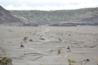
Hikers are dwarfed by the expanse of the crater
We were reliving a hike we had done on our first visit to the island twelve years ago. At that time there were still places on the crater floor where steam was leaking out and we could put our hand on the surface and feel the hot rock. Then, as now, we were amazed at the amount of new life that has begun to grow between the cracks.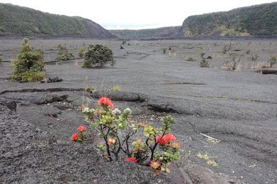
Flowering plant growing up from a crack
Than after a stop at the Visitor Center and lunch at the Volcano House Hotel, we drove to the end of the Crater Rim Road to the Jagger Museum for a view of the Kilauea caldera and the current eruption.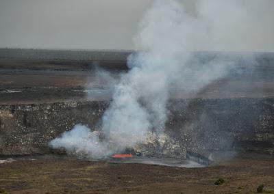
Active eruption of Kilauea Volcano, viewed from the Jagger Museum
On the way there we passed a number of steam vents.(The Crater Rim Road, which circles the caldera is closed after the Jagger Museum on because of noxious fumes.) From the overlook we watched the pool of red-hot lava churn and burst into the air releasing a giant plume of smoke visible for miles. I used my binoculars to get a close-up view of the exploding lava–bubbling like a giant witches’ cauldron. Inside the museum we learned about the science of volcanoes and how they are formed.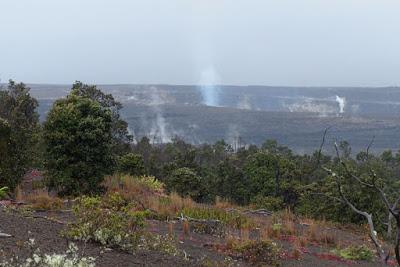
Smoke and steam vents viewed from Byron's Ledge
In many ways we picked the perfect day for a visit to Volcanoes National Park. It was not too hot and not too cold, and not too rainy. At an elevation of 4000 feet at the Visitor Center near the crater rim the air can be quite chilly, although nothing like the weather at the top of Mauna Loa, at 13,677 feet, the highest point in Hawaii. Hawaii is the only place in the United States that you can see an active volcano. If you visit the Big Island, the volcanoes are not to be missed.