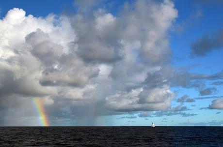
For the duration of the season, it seems, we’ve been chasing the weather. It’s finally caught up to us.
Boats headed from Asia to South Africa on a northerly route across the Indian Ocean, as we are, take off while the northeast monsoon gives a nice ride to the west. December is fine, although you wouldn’t want to cut too close to the end of the previous monsoon (and accompanying cyclones in the Bay of Bengal). January is great. February is fine, but the later in the season you depart, the lighter the trade winds, and the harder it is to sail the duration. Leave too late, like our buddies on Delos, and the weather may change your route plan entirely- their stop in the Andamans (later than planned after the 11th hour discovery of major rigging problems) left them without enough time to get to Maldives, so they’ve altered for a southern route via Cocos Keeling instead. Our early February departure gave us an okay ride to Sri Lanka, but by the time we sailed to Maldives in March, there was precious little wind: even boats justifiably proud of their light air sailing abilities, like Ceilydh, motored almost the entire way from Sri Lanka to Maldives.
Once inside this gorgeous chain of islands, we’ve rarely been able to sail. We’ve often had enough wind to propel Totem, but not with sufficient speed. It’s a bad idea to meander through atolls without good sunlight necessary to see the shallows and coral heads, and it’s an even worse idea to arrive at an anchorage without good visibility for the same reason. So we motorsail, or motor, and arrive in time to (hopefully) anchor safely.
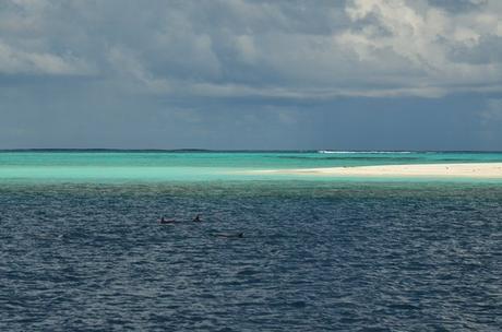
The nature of anchoring in Maldives is a factor, too. Generally, anchorages are quite deep- until they’re very shallow. They are few enough that we can’t just sail merrily along until the a squall looms or the light is getting low, and tuck in nearby; we need to scout out options for anchoring in advance, to know if a reasonable chance of anchoring even exists within a reasonable distance.
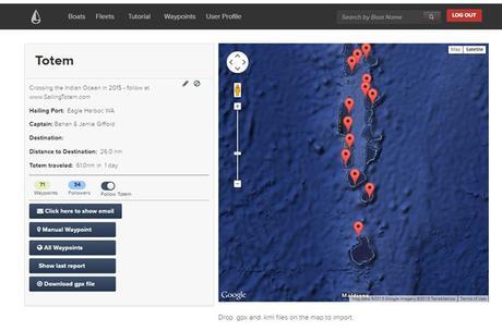
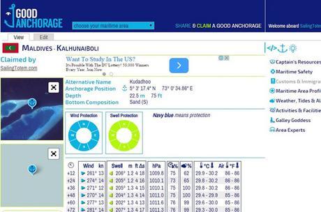
This gets further complicated because there aren’t great anchorage data for Maldives. Our IMRAY cruising guide is pretty useless. We found most before arrival by scouring blogs, and after getting here by passing them back and forth with the cruisers ahead and behind of us this year. We religiously update our anchorage location on Farkwar, above, and boats in our wake (or anyone, actually) can get an alert when we update it with a new position- getting our location, and notes on the spot. Our PredictWind site always posts our location as well, and hourly updates when we’re on a passage. But for broadly sharing anchorages, the best resource by far is a relatively new service called GoodAnchorage. Boats this year, and from prior years, have added their waypoints- along with data about wind/swell protection, and notes about the location (depth, bottom type, etc.). It is incredibly useful, and a great hub for cruisers to share information about anchorages with each other.
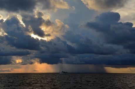
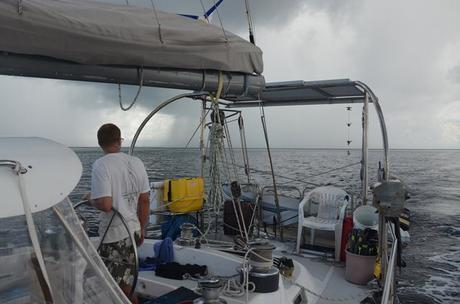
Weather changes very quickly. The two pictures below were taken at the same time- just, looking forward and looking aft of Totem. It’s like two different days, but it’s just a squall closing in behind us… actually, it was two squalls merging. Anyway, it was ugly, and we basically got to the first place we could anchor. It was 120′, and we dropped all 450′ of the chain on Totem. It still wasn’t ideal, and seas from the fetch was enough to put water over the bow. It was snug and comfortable enough below, but the girls share a cabin in the forepeak and had forgotten to dog the hatch…their bunk was soaked with saltwater.
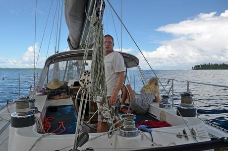
The need for eyeball navigation, and arrival with the sun overhead, has driven the pattern of our days heading south: an early morning departure, a midday(ish) arrival, and an afternoon to spend exploring a reef, visiting a nearby village, or just hanging out on the boat. For most of our nearly six weeks in Maldives, the weather has been settled.
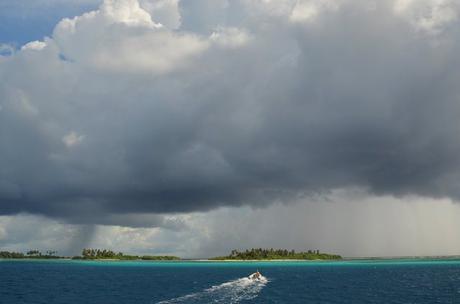
Now, however, Totem is less than one degree from the equator: it’s only about 50 miles south. During the last couple of weeks, we’ve entered the meandering convergence zone of calms and squalls- the ITCZ- that lives between the trade winds to the north and south of the equator. It’s made for some really beautiful cloud formations, as the daily squalls begin to boil up on the horizon. In the photo above, Niall makes a rapid dash to a nearby islet where a bunch of the “Indian-Ocean-kid-mini-fleet” kids are playing before a squall hits this afternoon.
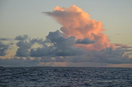
What do we do? We check weather forecasts daily. Our go-to is PredictWind; Jamie likes comparing multiple sources, and also regularly downloads a GFS grib. Weather is always a topic of discussion with other boats around us, as we compare notes and analyses. But in the ITCZ, weather forecasting is almost an oxymoron. It’s unsettled, thus unpredictable. The Maldivian Meteorological department sometimes has useful alerts as well. But while there may be indications for more squalls, in general, it’s more about being alert to the hourly shifts in conditions around is: watching the clouds, making our own judgments, and being prepared.
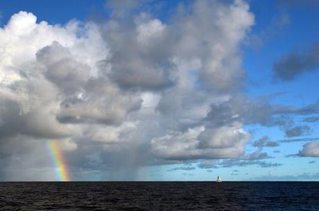
And then, about enjoying the rainbows.
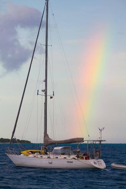
Another bonus for anchoring near friends: cool shots of your boat. Thanks to Diane Selkirk of SV Ceilydh for this one.
Weather watchers know we love it when you read this on Sailfeed.

