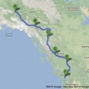
After touring the majority of Alaska, it was time for us to take our road trip South and back to the lower 48 states. We didn’t want to take the Alaskan Highway all the way back trough the Eastern Side of the Rockies and repeat our trip North so we decided to take the Cassiar Highway along the western Rockies and through BC instead. It was an amazing 1863 mile trip over a period 5 days that took us from Tok, Alaksa through the entirety of British Columbia and ending in beautiful Vancouver BC.
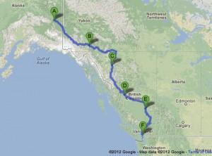
Our Route through BC on the Cassiar
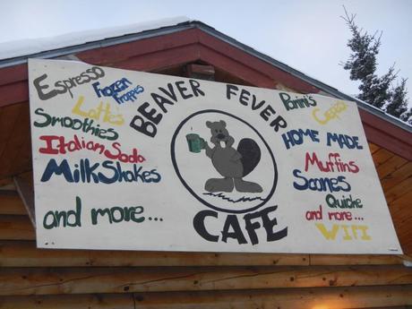
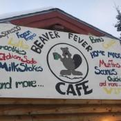
We left Tok, AK early in the morning with the hopes of beating some bad weather coming our way. Before we left though we had to make a stop and pick up some snacks. We opted to stop in at a cafe owned by the same people who run the Mosseberry B&B that we stayed at and were pleased with the result. If you find yourself in Tok, try the Beaver Fever Cafe.

With limited driving routes in and out of Alaska our trip leaving Tok to Whitehorse in the Yukon Territory repeated a small part of our trip along the Alaskan highway. While we normally strive to avoid doubling back along the same route, I must say we didn’t mind this time considering just how beautiful the drive was.
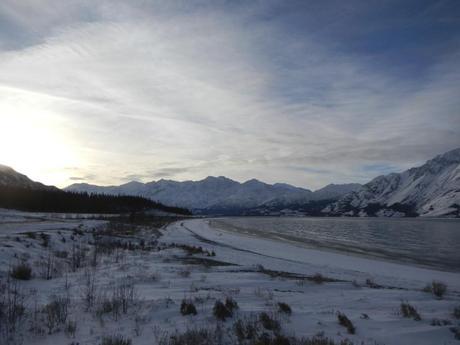
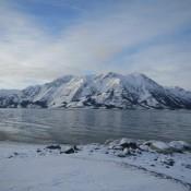
We stopped at Lake Kluane again to enjoy the majestic view
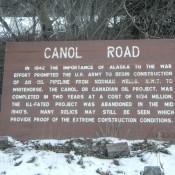
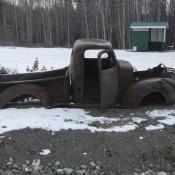
Our stay in Whitehorse was relatively uneventful, but it gave us a chance to stop at a grocery store and stock up on food for the next few days. We try to shop at grocery stores as often as possible to keep food cost down while we travel. The Cassiar Highway does have some food and gas stations along the way, but they are very limited in the winter and can be pretty pricey. It’s also a good idea to check road conditions before you go, because they change rather quickly. We left Whitehorse and continued South East along the Alaska Highway. We ran into this rest area at Johnsons Crossing that we thought was pretty cool. It was the beginning of a partially abandoned road called the Canol Road. It was used in the WWII era to build a now abandoned oil pipeline. What made it really neat was the fact that there was all this old equipment left behing along the roadway. We didn’t have time to take the route, as it is not maintained and about 300 miles long, but it’s something else we definitely have added to our wish list.
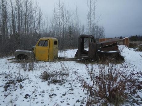
Some of the Abandoned Vehicles at Johnsons Crossing
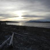
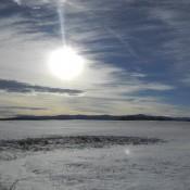
We continued our early morning trek and decided to stop and take a short rest when the sun finally decided to show itself.
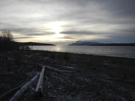
Teslin Lake in the Yukon
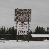
After a bit more of the Alaska Highway we finally came to our turn off for the Stewart-Cassiar Highway. It’s also known as HWY-37 and is very easy to miss if you don’t know to look for it. The road is also one of the only driving routes to Southern Alaska through BC.
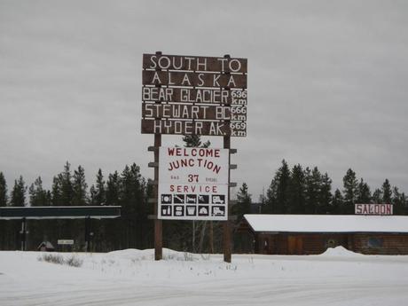
Make sure to stop and fill up your fuel tank before you start the drive South. There are very few gas stations along the road and many close for the season. Additionally, the ones that are open are very inconsistent with their hours. Once we began our drive along HWY 37 we knew that we had made the right choice by not taking the Alaska Highway back. While it was a bit snowy, the drive was amazing!
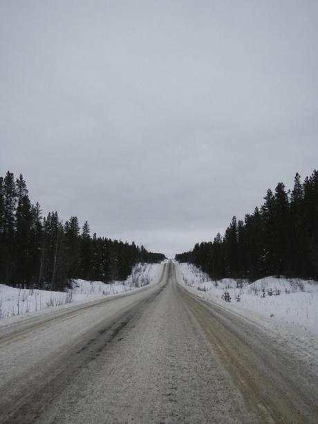
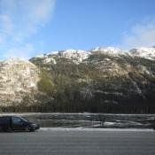
Driving along the Cassiar Highway
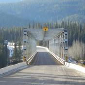
Depending on the section of the road it varied from completely clear to a bit of snow pack. There were quite a few elevation changes and it was cool to go from heavily forested areas that suddenly changed into valleys with picturesque lakes.
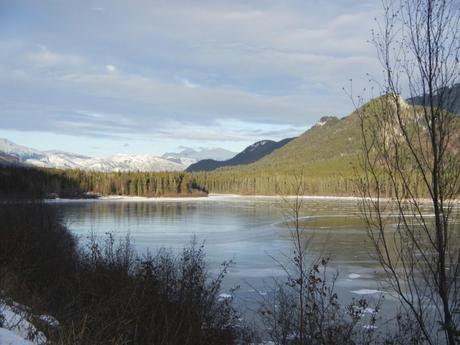
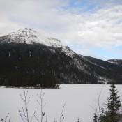
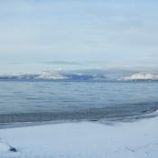
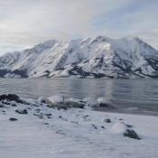
We throughly enjoyed all the mountain lakes.
Our first stop in the Wester Rockies was in the town of Dease Lake, BC. There wasn’t much to do, but we did find a pub (I’m not sure if it even had a name) that served some great food and a local beer from Yukon Brewing. That’s all it took to keep us happy 
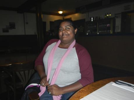
Lauren enjoying her beer in Dease Lake
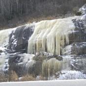
The following morning we set back out on the third leg of our journey from Dease Lake to Smithers, BC. We had about a 6 hour trip ahead of us, as that’s about all the daylight we had, and didn’t want to be on the road at night in such a rural area. This once again took us along may rivers and through quite a bit of elevation and temperature changes. We went from winter conditions to fall like areas and then back to heavy winter within a few hours!
We started off with winter conditions like these,
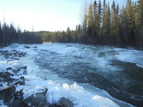
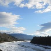
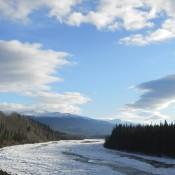
Partially Frozen River
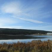
then it started to look like fall,
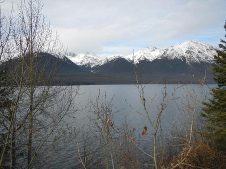
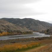
Looks like fall by the lake 
then it became Winter all over again, when a snowstorm hit near one of the peaks!
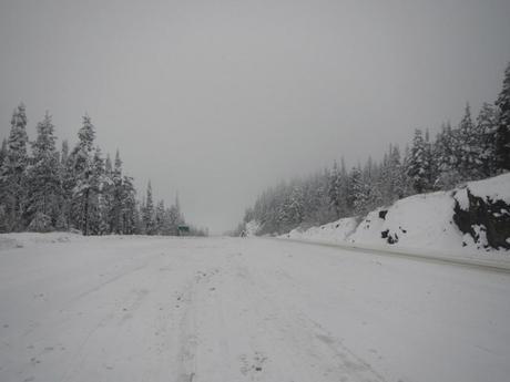
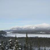
A snowstorm hit in the mountains
We were glad we gave ourselves enough time to drive because this storm hit hard and fast and had us bogged down for a couple of hours. We finally broke free from the storm as the Cassiar Highway ended at the junction with BC Highway 16 in Kitwanga.
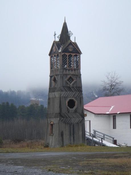
Church tower in Kitwanga BC
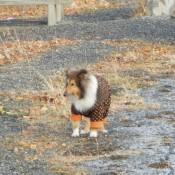
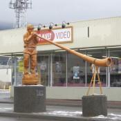
Once we connected to the Trans-Canada Highway (HWY-16), it was a short jaunt to our stop in Smithers, BC. We found a nice chain of pet friendly hotels to stay in the remaining time we were in Canada called the Sandman Inn. Their rates and pet fees were pretty reasonable and the hotels were comfortable. We checked in and decided to just order in some pizza and rest. The next day we had nice and snowless drive along the Trans -Canada Highway. We were pretty much out of the heavy wilderness and were rather surprised come across this little wolf hanging out by the side of the road!
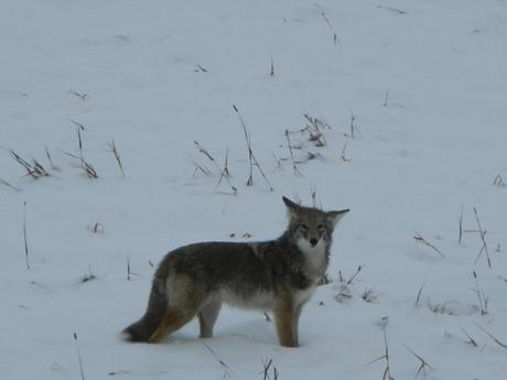
We both wanted to pet this little guy 
The terrain continued to change pretty dramatically as we traveled south and entered a large ranching and farming area.
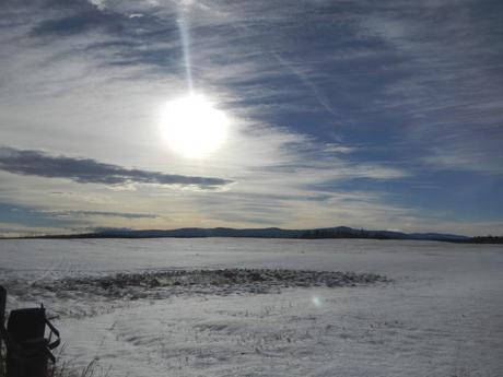
Snowed over Ranch Land in Vanderhoof, BC
Our route took us to our next stopover in a town called Quesnel in BC. We didn’t spend any time in town because we were just passing through, but we did notice all these cute painted fire hydrants. Apparently they were all over town and are a featured attraction.
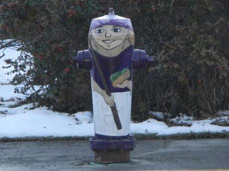
There are 23 of these around downtown Quesnel 
Once passing through downtown Quesnel, we checked into another Sandman Hotel on the southside of town. The next morning we continued and then continued along as we were very eager to arrive at our next destination, Vancouver, BC! We enjoyed the drive along HWY 97 and HWY -1 which took us through quite a few small towns and regions that were settled during various gold rush periods. There are also quite a few visitor centers along they way which are a great place to stop and stretch your legs for a few minutes. Most of them are staffed with pretty helpful associates and have neat exhibits in them. We found this guy at the visitor’s center in Williams Lake.
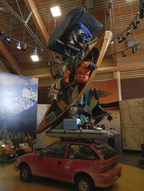
Overloaded Car at the Visitor Center
We were treated with some more spectacular geography as we drove thorough the Fraser Canyon and went westward towards the coast. The canyon is about 84KM long and the roadway snaked along the Fraser River. It was a really great drive. The road was winding and snaked through various tunnels and bridges, while taking you alongside the railroad tracks and all their bridges and tunnels.
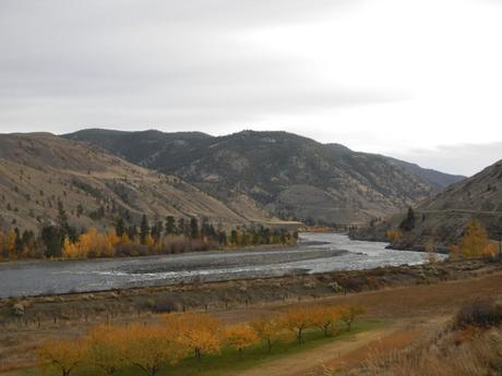
Frasier Canyon British Columbia
The roads elevation changed from along the river side to high up in the canyon near Hell’s Gate, where there is a 1000 foot drop!
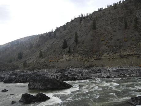
Driving along the Fraser River
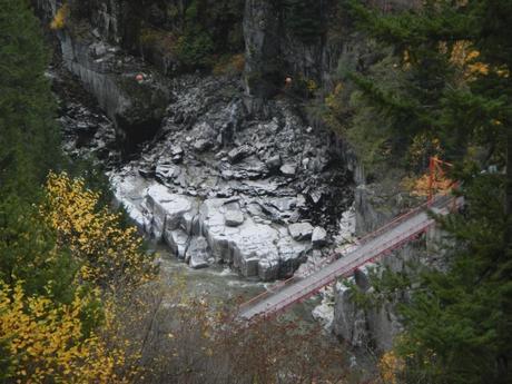
Looking deep into the canyon at Hells Gate
After our 5-day treck through the entire Western coast of Canada along the Cassiar and Trans-Canada Highways we were thrilled to start seeing signs of civilization and decided to celebrate by stopping at the first Starbucks we had seen in days:-) After our quick pit-stop, we finally arrived at the first pace we were staying for more than a few hours when we reached our hotel in the Vancouver suburb of Richmond, BC. We both were pretty worn out after covering 1800+ miles without stopping for a day of rest in between. We took in a quick but delicious dinner at a small Indian restaurant called Himalaya and hit hay. We were both looking forward to exploring Vancouver the next day and wanted to be as well rested as possible.

Please feel free to leave and questions or comments below. Please subscribe to our blog via the sidebar on the right for continued updates and travel tips!
Check out our gallery below for more pictures of our great drive through Western Canada!
-
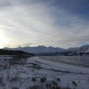
- We stopped at Lake Kluane again to enjoy the majestic view
-
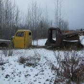
- Some of the Abandoned Vehicles at Johnsons Crossing
-
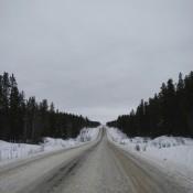
- Driving along the Cassiar Highway
-
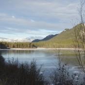
- We throughly enjoyed all the mountain lakes.
-
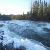
- Partially Frozen River
-
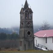
- Church tower in Kitwanga BC
-
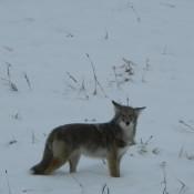
- We both wanted to pet this little guy :-)
-
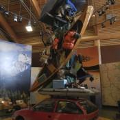
- Overloaded Car at the Visitor Center
-
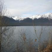
- Looks like fall by the lake :-)
-
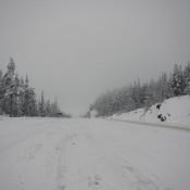
- A snowstorm hit in the mountains
-
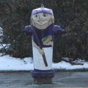
- There are 23 of these around downtown Quesnel :-)
-
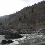
- Driving along the Fraser River
-
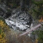
- Looking deep into the canyon at Hells Gate
-
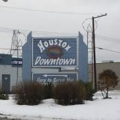
- Houston, BC… Not exactly as large as TX :-)


posted on 08 January at 17:35
I have travelled along that route a few times and enjoy it always. One comment on your pictures of the Fraser river are actually the Thompson river which flows into the Fraser river at Lytton. The rocks seen in one picture is called the Frog