Newfoundland and Labrador OpenData
If you are looking for data featuring Newfoundland and Labrador, then you should check out the Newfoundland and Labrador OpenData portal.
They are providing data in various accessible formats including numerical tabular styled files and text based format. The type of open data they are making available is based heavily upon the requests they receive from data users, and the quality of existing data that they have. So if you do not see the data you require, then be sure to contact them and see if they can have it and can make it available.
Public access to Opendata provides an opportunity for citizens and organizations to provide services that help society solve everyday problems while alleviating pressure on governments to accomplish the same tasks but with decreasing budgets. The data sets provided are ideal to use while creating a wide variety of helpful apps that people could use on their computers and smart phones. These applications then can help enhance existing data sets through crowd sourcing data from those that use them.
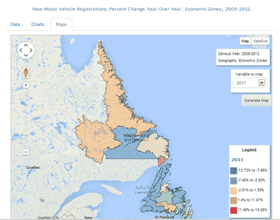
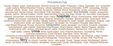
Users are free to download, modify, publish, translate, edit, distribute any of the Information with any medium, mode or format they wish for any lawful purpose. Data sets can be quickly found by choosing a key word or tags provided in the ‘Find Data by Tag’ tool, by searching with the search tools or browsing the data catalog list.
Newfoundland and Labrador OpenData portal offers a variety of data layers in many different categories but does not provide data such as road networks or topographic layers. If you require that type of data for Newfoundland and Labrador then we recommend that you try the GeoGratis / GéoGratis site.
Newfoundland and Labrador OpenData portal – http://opendata.gov.nl.ca/
Other Canadian Open Data resources can be found on the Canadian GIS & Geomatics data page or in the data & software category listings
Other sources of Newfoundland and Labrador include:
- Maps from Newfoundland & Labrador Statistics Agency http://www.stats.gov.nl.ca/Maps/
Community Accounts Map Centre – http://nl.communityaccounts.ca/maps.asp?_=vb7En4WVgbOxz7Zj (collection of pre-made maps) - Community Infrastructure Mapping System – A community information shared program via google maps http://nlcims.ca/CIMS.aspx
Also Check Out ...

Canada’s first Earth observation satellite, was declared non-operational earlier this year. RADARSAT 2 launched in 2007 was designed to replace RADARSAT 1 and is used for a variety of applications such as sea ice mapping, ship detection, agricultural monitoring, pollution detection, geological mapping, land use mapping, and much more.
Here are links to several RADARSAT data and mosaic images that you can download completely free.
For people exploring various places in the neighborhood, it is similar maps as other online map information with zoom and pan, but the real power of OpenStreetMap rests in the hands of developers who can access all the data behind the maps for customizing to their own.
What it means that, with OpenStreetMap, you can not only view various spatial locations, but add also your own custom locations and information to the database which can then be used by other users. All you need to do is to …
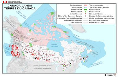
Canada Lands are any federal Crown lands belonging to the Crown, that are situated in Yukon, the Northwest Territories, Nunavut or in any National Park or Indian Reserve, as defined by the Indian Act. Digital cadastral data of Canada Lands depicting the internal and external boundaries is managed by Natural Resources Canada, and is made available for public use in a variety of formats.
Here are links to pre-made mapping products and digital cadastral datasets related to Canada Lands as well as the Canada Lands overlay in Google Earth file and the Canada Lands Survey System online map browser.
Ultimate List of GIS Formats and Geospatial File Extensions
