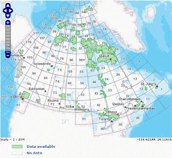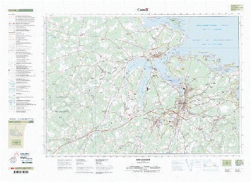
GeoGratis is an internet portal web site provided by Natural Resources Canada. It is designed to offer Canadians with digital geospatial data free with limited restrictions. So far this year Natural Resources Canada has released over 350 updated or new topographic map sheets and made them available to the public in what they refer to as the CanTopo series via the GeoGratis web site [geogratis.gc.ca].
CanTopo is considered the next generation of topographic map sheets that provides quality spatial information that fully complies with international geomatic standards. The digital maps are considered multipurpose because they can be utilized for a wide range of uses from many different organizations and individuals. Georeferenced versions can also be used with Global Positioning System (GPS) receivers and other digital geographic data sets with various software packages such as Google Earth, ArcMap or Global Mapper. You can also simply print them and use them the way they are, as regular NTS paper maps, just like most of done for years.
The spatial reference system CanTopo data is Universal Transverse Mercator (UTM) referenced to the North American Datum of 1983 (NAD83) in the Canadian Spatial Reference System (NAD83CSRS). A Downloadable file formats include PDF, GeoPDF, TIFF, and GeoTIFF. For more information on these digital products you can refer to the official product specification sheet.

Some of the new maps released this year include ones covering parts of our Canadian northern regions that were previously unmapped at a 1:50k map scales, and also several map updates for areas in Ontario, Manitoba, Nova Scotia, New Brunswick and Saskatchewan. Here is a short list of some of the new topographic maps available on GeoGratis.

They have the digital files available via ftp [ftp://ftp2.cits.rncan.gc.ca/pub/cantopo/] if you know the map code for the map sheet you are looking for or you can also go to the CanTopo search tool to search for the map codes and regions that are available (More CanTopo map sheets are scheduled to be published quarterly) to start searching and downloading maps for your own use.
.

