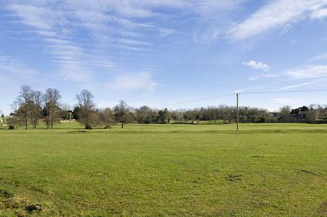
With 2500 miles to walk this year, I have been looking to increase my walks on certain days (I get a free Thursday to myself once a month, and I'm making the most of it!), last week I managed a long canal walk, in Feb I managed a North West Circular Walk but today I planned a walk out in advance using ViewRanger (I do love that app) that integrated my patch, but went further, it involved the River Ouse, the Grand Union Canal, town and country walking. Anyway this is that walk.
Floodplain Forest to Linford Lakes Circular Walk
Starting out by the Church in Old Wolverton, the beginning of my walk was a familiar one, as it encompassed walking my patch. Heading down the Grand Union canal, the sun bright over my shoulder, to the Iron trunk Aqueduct before heading off through the Floodplain Forest Nature Reserve as always.
My first stop as it often is, was the Aqueduct hide (a slight debtor off the map), and my choice not to bring my long lens came back to bite me, as a Stoat (only my second on the patch) bounced around in the open for a few moments, twisting and turning with agile grace before disappearing into the long scrub. There was little else of note on the nature reserve, so I carried on my walk.
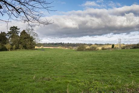
Ouse Valley
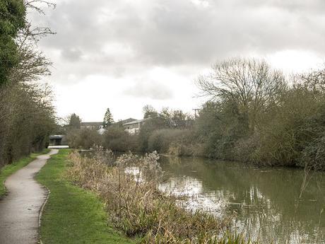
Looking back along the canal to Old Wolverton
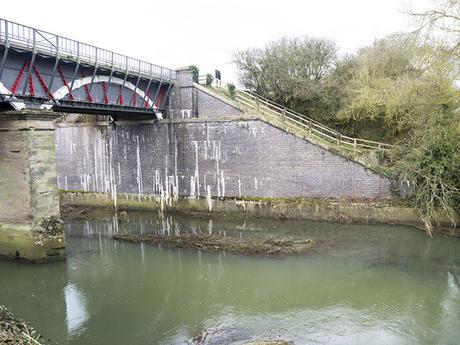
Iron Trunk Aqueduct
Once I was passed the hides I headed off along the River Ouse, still swollen from the recent rains, and passed under the stunning old Viaduct at Haversham, originally built in 1838 to a design by Robert Stephenson (he of Stephenson's Rocket fame), and was soon powering my way along the solid river path. My second regret of not having my long lens occurred a short way along as a Little Owl sat just over the river staring at me with its large yellow eyes, following my walk as I, in turn, followed the river path.
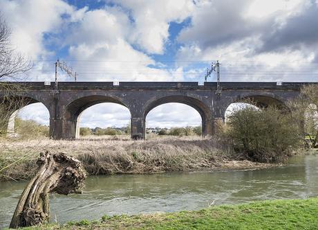
Viaduct at Haversham
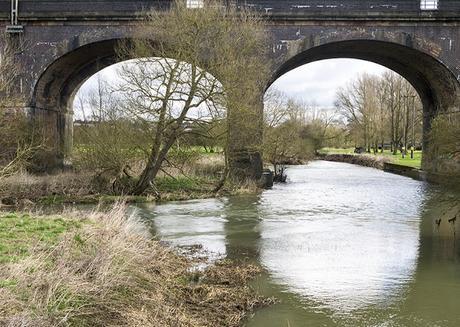
Twin Arches
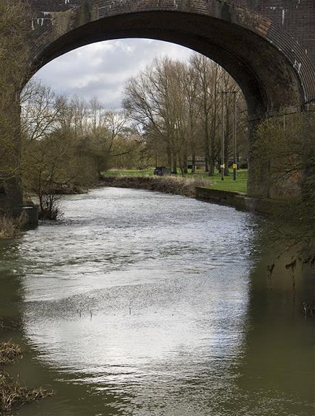
Through the Archway
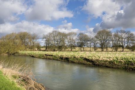
River Ouse at New Bradwell
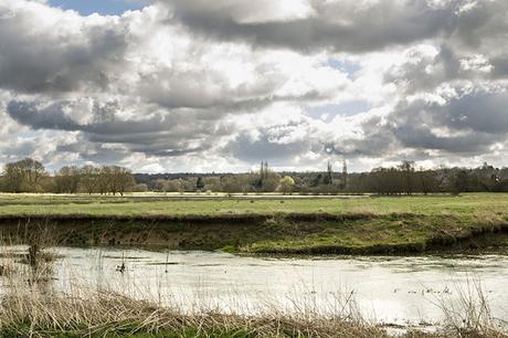
Bradwell Lake over the Ouse
New Bradwell to Linford Lakes
With the new workings on my right and the river on my left, the lakes at Bradwell visible, glinting in the early spring sunshine, beyond that, I soon found myself in New Bradwell, I didn't hang about for long in and was very quickly walking the same canal tow path as I walked last week, although the opposite direction. New Bradwell does have a few small shops so if you need to stock up on drink or food the now may well be your best opportunity if you are following this walk.
With a short barge for company I began the short walk through Bradwell and on into open country, arriving swiftly beside Joan's Piece (a small Woodland Trust copse, although now possibly in the hands of the Park's Trust?), and the entrance to Stanton Low Park.
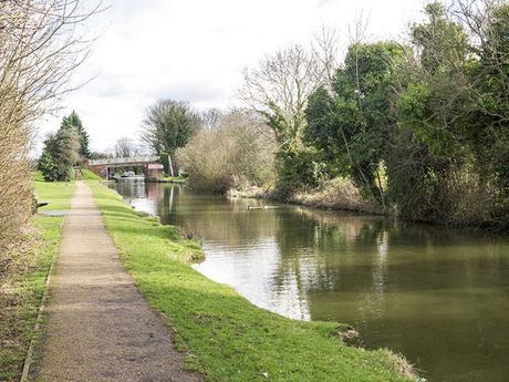
Grand Union Canal at New Bradwell
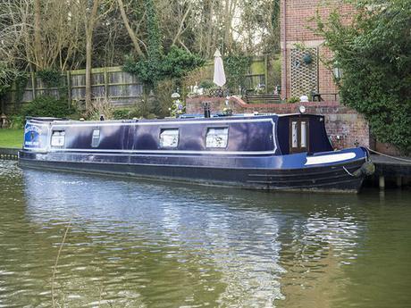
Barge on the Canal
Stanton Low Park and Linford Lakes
Leaving the canal I headed down into Stanton Low, heading directly towards St Peter's church ruins, planning to spend a little while photographing this wonderful old ruin that was still in use under 100 years ago.
Built around 1100 and still in use as late as 1927 (although there would have been many changes) it is amazing how things can change. My plans to photograph the old church were dampened as a family were already visiting and it was tricky to get many photos without children running around.
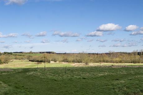
Stanton Low Park
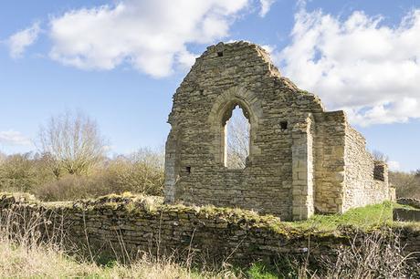
St Peters Church ruins
Giving up on the church I followed the old road around the back of the Linford Lakes Nature Reserve complex (permit holders only), over the river the boats of the sailing club on Haversham lake shone i the brilliant sunshine, the rattling sound of the ropes and sails, shivering in the strong breeze carried over to me, while on the nature reserve several Grey Heron squawked and screamed at each other, jostling for space in the well established heronry (the first breeding location of inland Little Egrets in the UK, many years ago).
I was now back following the path of the River Great Ouse for a little way, as the river follows the path of Swans Way (A road and the bridal way), but only for a short distance as I was soon crossing over at Haversham weir, possibly the most picturesque location on my walk today (and the site containing a house I would LOVE to own).
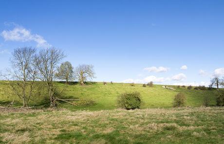
Hillside in sun
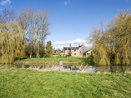
House at Haversham weir
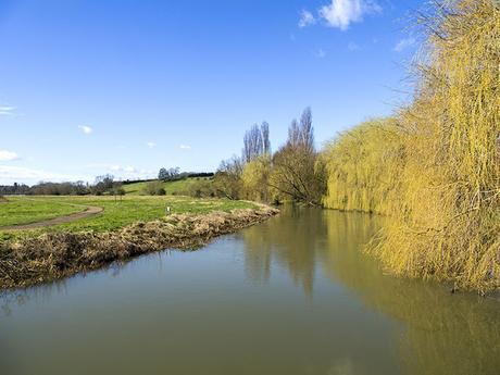
River Ouse looking stunning in the sunshine
Linford Lakes to Haversham
My walk from here would become a cross country ramble, after heading up hill, and along the High Street (yeah it's an odd name for a road that isn't actually in a town?) I was heading into the open countryside of Buckinghamshire, or rather I would be heading into the countryside, but first i paused on a large concrete block to have a little lunch and enjoy the views back out over the lakes complex I had just walked near.
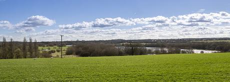
Looking out over Linford Lakes
I was now entering the open country, and as I walked the wind whipped across the open fields, thankfully the sun was beating down on me now keeping me warm, and the exercise of the walk was allowing me to build a little sweat up!
The open fields held a large flock of local Mute Swan, feasting among the grassy tussocks, over head Skylark and Linnet sang, filling the air with tuneful bird song.
Floodplain Forest to Linford Lakes Circular Walk
Pin Image
As I crested the hill I was walking I discovered my path, although obvious, was thick with mud, the overnight rain having filled the runnels and rivulets left by the heavy farm vehicles as they work the land. Making my way across this slippery track, my boots began to grow heavy with the thick, sticky clay, my feet slid and squelched as I walked, an action that really gives one a workout when on a wet hike.
Fortunately this wet, sticky mud only lasted a few hundred yards, strangely at the top of a hill rather than the foot, and I was soon back walking firmer paths and gravelly farm tracks, as I skirted the edges of Old Haversham.
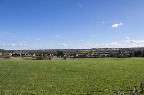
Buckinghamshire Countryside
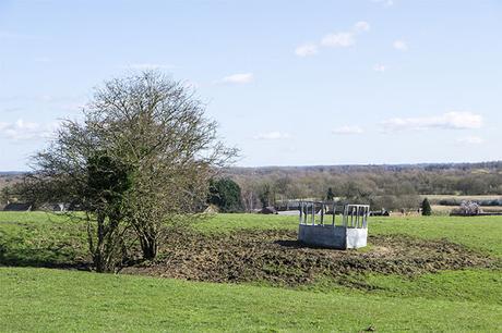
Farming
Haversham to The Floodplain Forest
Another short, roadside walk, soon had my boots clean, but I was back walking the fields once more in no time. This would be my last uncharted section of walk, I would soon be back on familiar paths. This section of the walk, although short, took in an interesting area that is fine to walk now, but is not somewhere I would be comfortable, or even safe maybe, walking at weekends as it passed along the edges of a clay pigeon shooting club, the path through littered with fragments of gray disks, blown out of the skies on the regular weekend shoots.
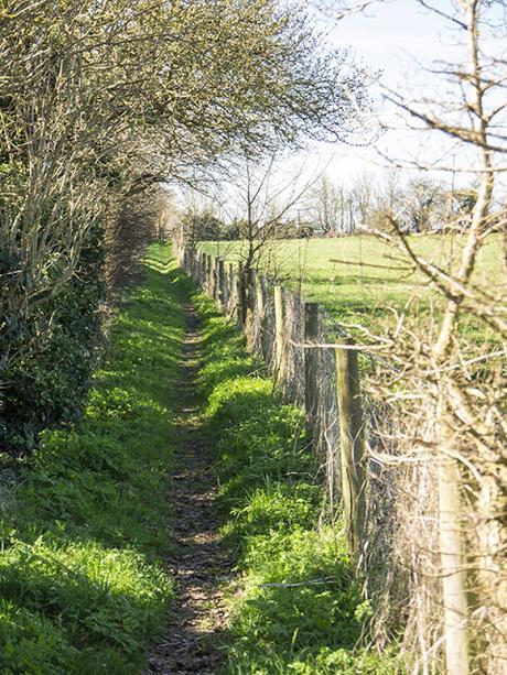
Country Track
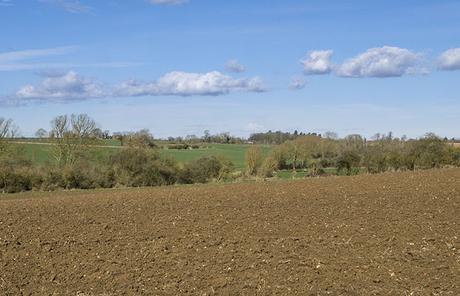
More fields
Once over the excitement of the clay's I passed under the railway and was walking along side the tracks, on cycle route 6, heading back to the River Ouse and my regular stomping grounds of the Floodplain Forest Nature Reserve.
Blue Skies
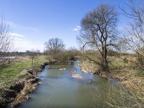
River Ouse
Final Stretch
Once back at the nature reserve I was back walking along the Ouse once more, and quickly made up the ground to the Iron trunk aqueduct once more, this time rather than heading along the canal I passed under the waterway through the low cattle creep and was into the Wolverton Mill area of the Ouse valley, nearly home.
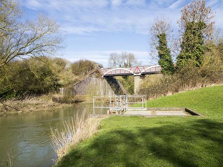
Iron trunk Aqueduct again
Making my way back to the church car park, I paused at the top of Cardiac Hill (a short but very steep hill up to the church) and rested on a bench placed in honor of an old regular in the area, to have one final look back across the use valley before heading home.
9.77 miles walked over 4 hours or so in the lovely Buckinghamshire countryside. You can visit the map on ViewRanger below, but there are a few final images below that.
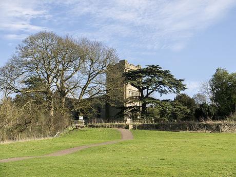
Church at Old Wolverton
ViewRanger Map
Other Photos
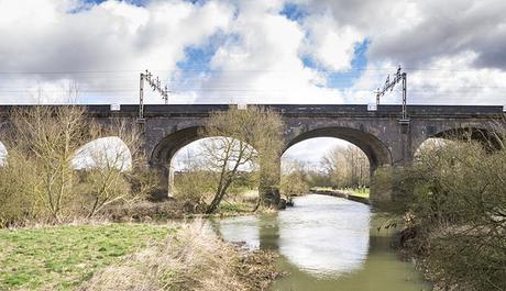
Viaduct
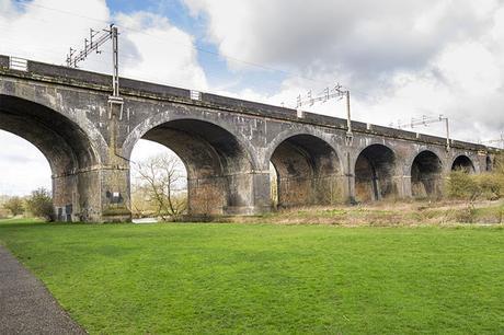
Viaduct built in 1838
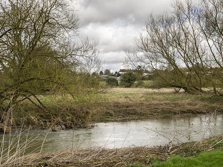
Views over the River Ouse
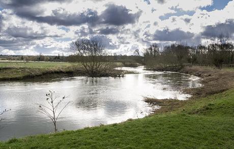
River Ouse views at New Bradwell
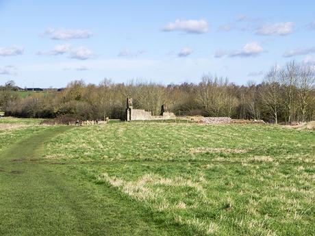
View down to St Peter's Church
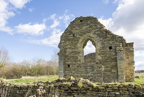
St Peter's Ruins
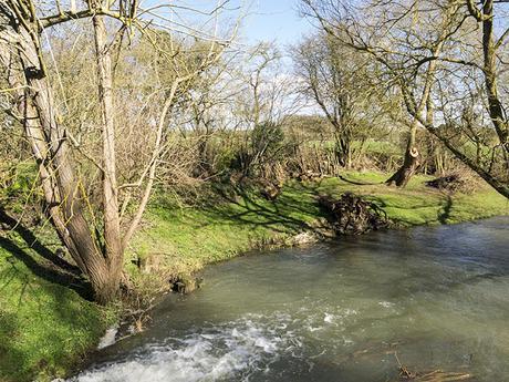
River Ouse near Haversham Weir
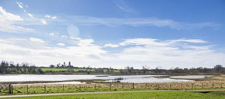
Floodplain Forest Nature Reserve
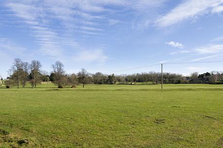
Fields at Wolverton Mill
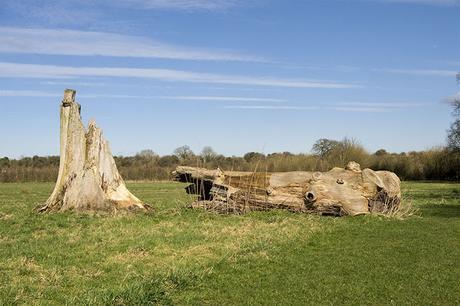
Fallen Tree near Wolverton Mill
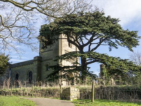
Old Wolverton Church
Thank you as ever for stopping by and reading my words and enjoying (hopefully) them and my images.
I'm Walking 2500 miles in 2017 to raise money for Birding For All - Read about it here - Please consider donating through My Donate
If you enjoyed this post, or found it useful, then please do share it with your friends using the links below
Please feel free to leave me a comment, I really appreciate the interaction and will reply as soon as I can. I apologize for any issues with posting comments, but sometimes Google's blogger platform plays up. ALL comments are moderated for SPAM, so please don't bother if the comment is unrelated to the post it will likely be deleted.
