If you’re planning on taking a drive to Alaska there are only a couple direct driving routes that will take you there. You can either drive the Cassiar Highway, which is a small mostly rural route, or drive the Alaska Canada Highway (aka the Al-Can), which is a slightly larger, slightly less rural route.  No matter which way you go you’ll be guaranteed two things: several days of non-stop driving, and miles of wide open spaces. Since we had the opportunity to make the drive last fall we decided to put together this handy dandy guide and road trip planner for driving the Alaska-Canada Highway.
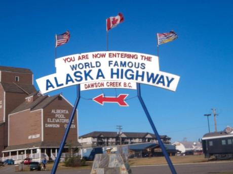
Facts about the Alaska Canada Highway & Guide for Planning Your Road Trip
The Alaska-Canada Highway is a joint venture that spans across two countries, two Canadian providences, and one U.S. state. Many people think the Al-Can starts somewhere in the northern portion of the Continental US, but it actually doesn’t officially start until the small city of Dawson Creek in B.C.. From that point, the Alaska Canada Highway covers 1422 miles (2288 Kilometers) along the Canadian Rockies and through the Yukon Territory. If you are planning on taking a road trip along the entire highway, you should realistically plan for a minimum of 5 days (4 nights) driving, and that’s if you plan on driving 7-8 hours a day without stopping to adventure anywhere.
When the road was originally built and opened in 1948 it was a mixture of gravel and dirt road, but is now completely paved. Although not as adventurous as it once was, the road still presents many challenges. There are many altitude changes, with the highest pass at Summit Lake (4250 ft), and quite a few sections of the road that have no guardrail or any other safety mechanism. Additionally, due to harsh weather, the road is in almost constant disrepair. There are many sections riddled with frost heaves, or eroded areas that are “paved” but feel more like a gravel road. Because of this, it’s recommended that you throughly prepare your vehicle for the road trip, and, as always, be ready for a roadside emergency. Here’s what the Route looks like on a map.
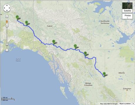
Dawson Creek to Muncho Lake to Watson Lake to Whitehorse to Tok to Delta Junction
Driving the Alaska Canada Highway
We set out on the Alaska Canada Highway in Mid-Fall. The biggest benefit of driving the road this time of year is the lack of traffic and the cool temperatures. A big downside, however, is the fact that many hotels and other services are closed for the season. Don’t get me wrong, there is lodging available, it just becomes quite scarce as you make your way north. We set out on our journey from the town of Grand Prairie, AB. The terrain was absolutely lovely from the very beginning of the drive.
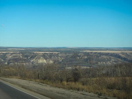
The rolling hills and mountains were absolutely beautiful. It’s the kind of landscape road trip dreams are made of.
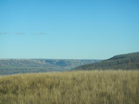
As we proceeded further north, we had the chance to watch Autumn turn into Winter at 70 mph. Very quickly the landscape went from greens and browns, to white.
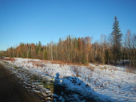
For the first leg of our trip, we planned on driving as far as Muncho Lake, in BC. There was a dog friendly hotel I found and it was about 8 hours away from our starting point. When we arrived, we learned our first very painful lesson about off season travel. Always call ahead! We pulled up to the hotel after sundown and were immediately greeted by the caretaker outside. I let him know that we were looking for dog friendly accommodations and he told me the hotel did have a couple rooms left, and that we were in luck. I looked over at Lauren both a bit weary and excited and told her the good news. It was when the caretaker opened his mouth next that everything turned sour. “You can have a room for $229 a night, but we’re all out of pet rooms” he said. I looked at him quizzically, then asked what he suggested I do with our two dogs. “Just leave them in the car overnight… it’s not that cold” was his brilliant response. Obviously, that wasn’t the right answer for a pair of dog lovers like us. I thanked him for the offer and got back in the car.
Lauren and I just sat there in dead silence. We had no idea what to do. It was 14 Degrees outside, snow was falling, and we were in the middle of the Northern Rockies with nowhere to stay. We finally looked at each other and simply said, keep moving forward. We then began the most difficult and amazing part of our adventure. We started driving and figured we would just keep going until we found another hotel that was open. Little did we know that we wouldn’t find another hotel until the following evening. We started driving again, but much slower than the posted speed. The combination of snow fall, absolute darkness, and the road conditions made the drive pretty painful. Suddenly up ahead in the road, we saw something moving, it was bright white. As we got closer it stopped, turned and looked at us. It was a pure white mountain goat.
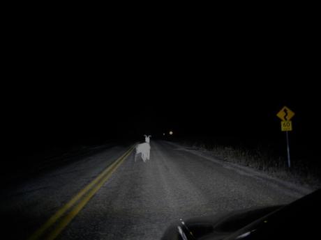
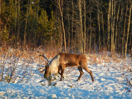
I was only able to grab one, admittedly bad, photograph before he scampered off. For the next couple of hours we kept driving and experienced the most amazing animal adventure ever. We drove by an entire herd of Buffalo resting along the roadside, Caribou grazing on bits of grass poking through the frost, and even a group of wild horses trotting along the side of the car.
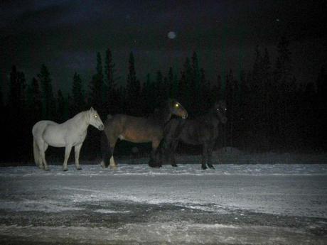
All the animals were just walking back and forth in the middle of the road, licking the salt off the pavement.
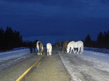
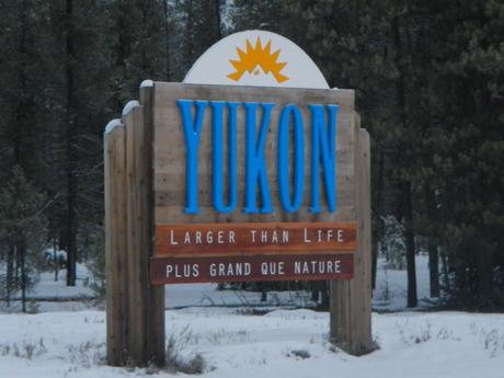
As the hour grew later we finally hit a wall where we just couldn’t drive any longer. Driving in those conditions is highly strenuous. We eventually found a highway pull out that was occupied by a semi truck (I can’t imagine what he was doing there either) and parked next to it, to try and get some rest. Sleeping in a car is a hard thing to do when it’s 14 degrees outside. I kept waking up once an hour or so and having to start the car for 20 minutes to bring the heat back up before turning it off and falling asleep again. After catching a few hours of nap time, we started back on the Alaska Canada Highway. As sunrise hit, we entered the Yukon territory. Funny side note, the Al-Can highway crosses the BC and YT border 6 times in about a 10 mile stretch. Each time, there’s another sign, some are larger than others though.
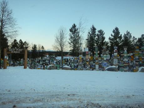
We were hungry, tired, and out of water when we reached Watson Lake. It was the first real town that we found and also happens to be home to the famous Sign Post Forest. We did what anyone in our situation would do, we melted snow so the dogs could have a drink of water and we kept going.
We took stock of where we were and how we felt and decided to push it until we hit Whitehorse. It’s the capital of the Yukon Territory, and was certain to have dog friendly accommodations. We fueled up, had some terrible coffee, and got back on the road. Immediately we were rewarded with more animal sightings, as they came out at sunrise for a snack.
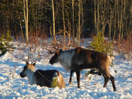
There were entire herds of Caribou just milling around as if we weren’t even there.
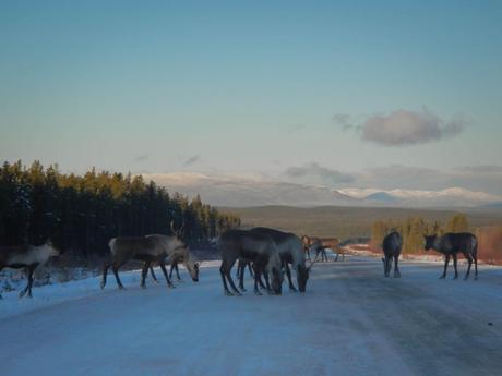
It was absolutely mind-blowing to be this close to nature.
The remaining 8- hours or so of that day were kinda blur. It’s a good thing we made it a point to stop every once in a while to capture the beautiful landscape on film.
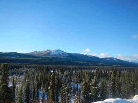
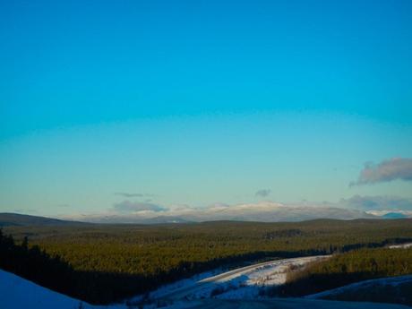
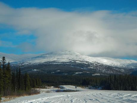
We hit Whitehorse, found a hotel, ate something for dinner (I think it was Korean food

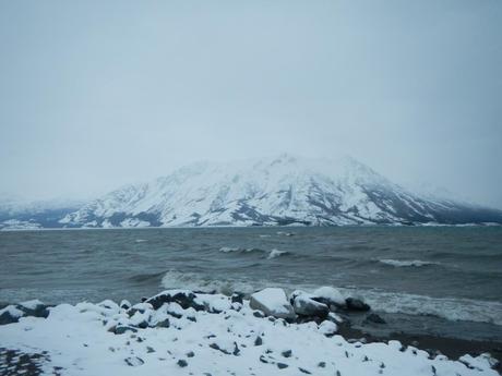
We loved it so much we wrote a whole post about Kluane Lake.

We continued through some more small towns as we made our way towards the Alaska border. Make sure you keep an eye out for the Mounties, they’re a tricky lot.

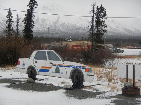
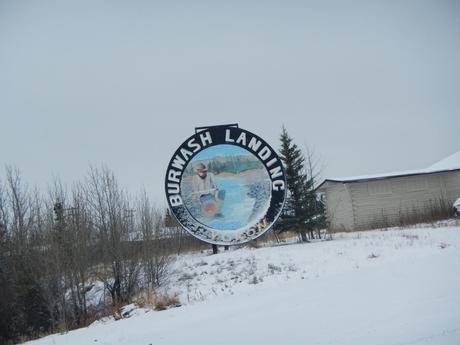
Most of the towns were shut down for the winter. Each “town” had one or two gas stations and restaurants open, but otherwise, everything was beginning to collect snow that would accumulate until the following Spring.
After about 6 hours of driving we came to the Alaska border and re-entered the USA.
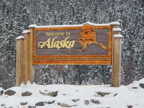
From here it was another 2 hours to Tok, AK. We stopped and stayed at a cozy little B&B called the Mooseberry Inn. The next day, we picked back up on the Al-Can and finally came to the end of the road when we hit the very small town of Delta Junction. It’s not known for much, but it does have a large area dedicated to the end of the Alaska Canada Highway.
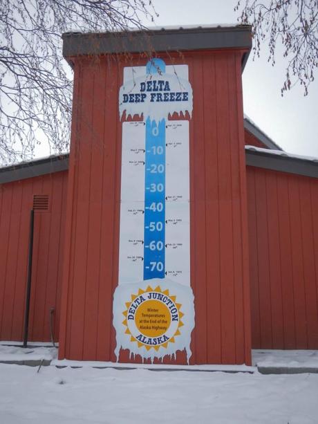
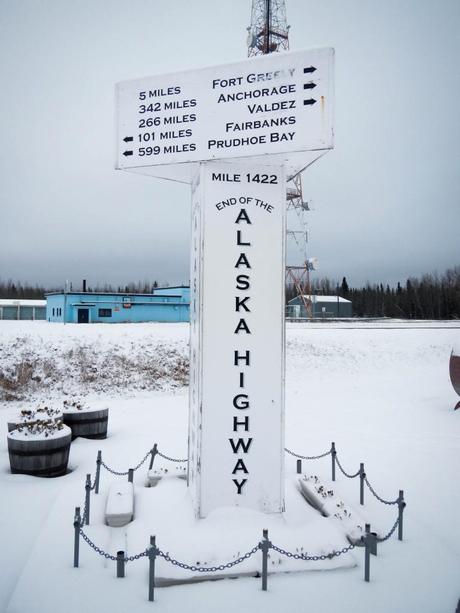
From this point, our time on the Alaska Canada Highway came to an end. We continued on our adventure towards Deadhorse, Alaska and the famed Dalton Highway. If you plan on taking your own Al-Can adventure, I suggest a little planning ahead. If you love wildlife, road trips, and wide open spaces as much as we do, it should definitely be high on your list. Feel free to contact us if you are making the trip. We are always happy to share tips and make suggestions.

For current Alaska Canada Highway Road Conditions, use these three local sites for the most comprehensive information.
