2015 GIS in Education and Research Conference
The Second edition of the GIS in Education and Research Conference, organized by Esri Canada in partnership with the University of Toronto was held at Hart House last Monday ( November 30, 2015). The venue of the conference: Hart House has a unique distinction of being one of the earliest collegiate Gothic Style student center’s which opened to public on Remembrance Day in 1919.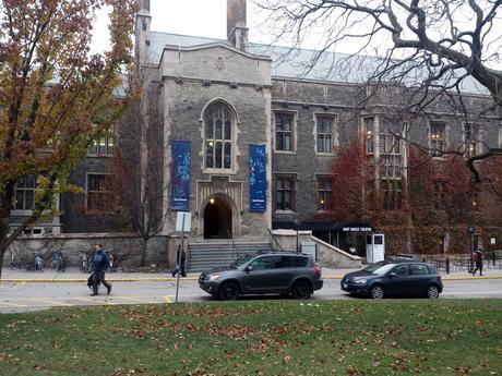
The GIS in Education and Research Conference was primarily aimed at sharing the research findings from all areas of GIS applications while fostering networking among students, professors and teachers from universities, colleges, and schools all across Canada.
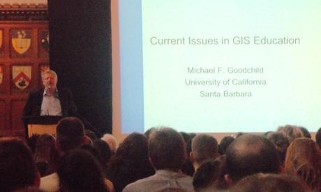
The Conference started with the welcome address by Dr. Brent Hall, Director Education and Research with Esri Canada, followed by a plenary address from Professor Emeritus Michael Goodchild, who presented in detail the challenges of Big Data: Volume, Velocity & Variety.
This was followed by a combination of concurrent paper sessions from 10:30-12:15 on research by professors and students on four themes
- 3D and Geodesign
- Crowdsourcing/Big Data/Open Data
- Glaciology/Geology
- Physical Processes
Following a Lunch break (12:15- 13:15) there were three concurrent sessions (13:15-14:45) on
- Agricultural Applications
- Applications in Ecology
- Health and Retail
Following a Break (14:45 – 15:15) there were three concurrent sessions (15:15-16:45)
- Crime and Emergency Management
- Transit Modelling and Accuracy
- Data Integration / Education
There were three technical workshops conducted by Esri Canada staff which were received with great enthusiasm by the participants and were wait-listed much before the conference started.
- Story Telling with Maps by Jean Tong, Angela Alexander, Hayleigh Conway.
- Integrating R with ArcGIS by Cam Plouffe.
- Building Custom Web Apps with ArcGIS by Krista Amolins, Dr.Michael Leahy, Jonathan.
In addition, there was a display of Esri Canada Higher Education Scholarship posters from 2015 and submissions to this year’s Esri Young Scholar Award competition.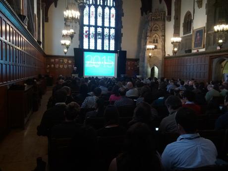
At the exhibitors section there were exhibitor booths by Esri Canada, represented by Jean Tong, Angela and Hayleigh from Education and Research group who showcased the GIS Ambassador Program of Esri Canada. URISA Ontario was represented by Caitlin Blundell who was briefing the visitors about URISA Ontario and their various activities including their Student Membership and Bursary. Other notable exhibitors included Geospatial Niagara and Fleming College.
Overall the conference proved to be very valuable to all participants, providing great opportunity to network and learn more about research being carried out by geospatial educated people who drive the Geomatics Sector in Canada.
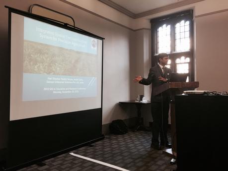
@jeandtong @EsriCanada @DaveAtCOGS @josephkerski – During my Presentation on #PrecisionAg at #GISEd15 pic.twitter.com/xEkmoalKgX
— Hari Shankar Reddy Y (@HARIGISP) November 30, 2015
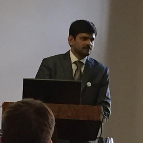 Contributing Author: Hari Shankar Reddy Yeruva, GISP is a Technology Evangelist on a mission to engage with the Professionals, Educators and Students and drive excitement around Geospatial Platforms. As an Evangelist he explores every possible opportunity to reach and inspire technical audiences to successfully discover, understand, deploy and operate the core and unique Geospatial technologies within their chosen domains. He believes in the concept of “desperately learning” and that learning is imperative if we want to solve some of the challenges our world is facing.
Mike Goodchild recognizes that not all GIS students want to code, need to recognize diverse backgrounds, goals #GISEd15 — Don Boyes (@donboyes) November 30, 2015
Adele Pierre of U. of Guelph: flexibility of @Esri #CityEngine for landscape architecture @ #GISEd15 @AmorosoStudio pic.twitter.com/9G00EnG1yy
— Jonathan Van Dusen (@jevandusen) November 30, 2015
Rebekah Ingram and Katie Maloney presenting their research at #GISEd15 pic.twitter.com/XfIh9ccXRm — Patrick DeLuca (@McMasterGIS) November 30, 2015
Craig Allison presenting his award winning research at #GISEd15 pic.twitter.com/WlEm5O39xk
— Patrick DeLuca (@McMasterGIS) November 30, 2015
What better place to show Vermeer’s famous painting than a room full of geographers? #GISEd15 pic.twitter.com/TQkzpnCmFJ — Jonathan Van Dusen (@jevandusen) November 30, 2015
Made a map with data generated in R visualized in ArcGIS Pro. The trick will be doing it again later! #GISEd15 pic.twitter.com/drxCQNQogt
— Rebecca Bartlett (@bec_bart) November 30, 2015
Prof. Emeritus Michael F. Goodchild, of the Uni. of California Santa Barbara, delivering the plenary at #GISEd15 ! pic.twitter.com/3TT2434s3S — Jonathan Van Dusen (@jevandusen) November 30, 2015
Also Check Out ...
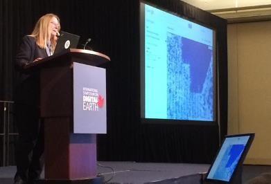 Digital Earth 2015 in Halifax
Digital Earth in Halifax explored a wide variety of geographic related theories, technologies, applications and achievements focused around planetary sciences, information technology, computer sciences, social sciences and big data. It was packed with multiple presenters from all over the world, here is a summary of it with photos & videos.
 Geomatics Atlantic 2013 Photos
Geomatics Atlantic is a regional conference that switches between the Atlantic Provinces every year allowing the different geomatics related professional organizations to take turns hosting the event. This year the event was held in Saint John, New Brunswick and hosted by the Canadian Institute of Geomatics (CIG) New Brunswick chapter.
Here is a brief overview and photo slide show of the event …
 Upcoming Conference and Events in Canada
Attending a geomatics event or professional conference is a great way to keep update about what is currently happening in the Geomatics industry and also an opportunity to have a good time while networking and mingling with others.
Many organizations across Canada offer great conferences and events, so the Conference and Events section provides free information about the various GIS related conferences, events, workshops, training and webinars that are available to or could be of related interest to other Canadians.
Some upcoming geomatics related conference and events in Canada include …
New Interactive Map allows people to Connect with The International Space Station
